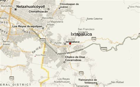
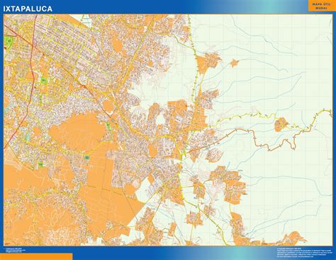
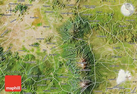
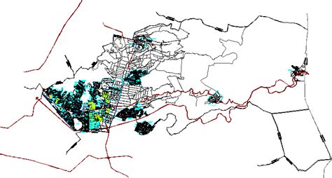
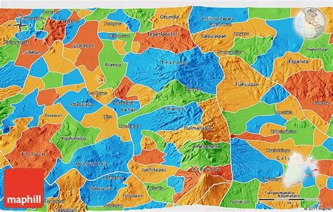
Location: Ixtapaluca 🌎
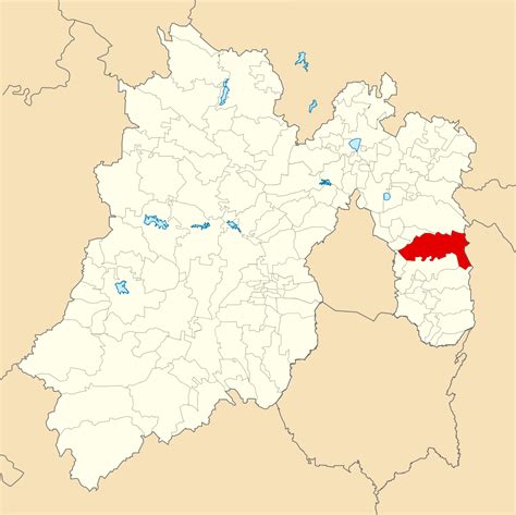
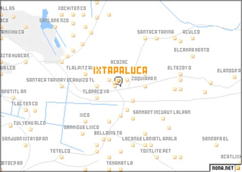
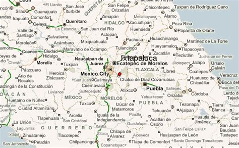
Location: Ixtapaluca, Mexico Administration Region: México Population: 542211 ISO2 Code: México ISO3 Code: MEX Location Type: Lower-level Admin Capital Latitude: 19.3186 Longitude: -98.8822
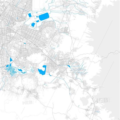
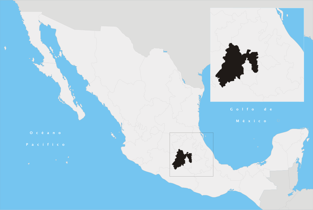
Ixtapaluca is a city and a municipality in the eastern part of the State of Mexico in Mexico. It lies between the Federal District and the western border of the state of Puebla. The name Ixtapaluca means “Where the salt gets wet”.As of 2006, Izta included part of the world’s largest mega-slum, along with Chalco and Neza.
Top Ixtapaluca HD Maps, Free Download 🗺️
Map
Maps
United States
United States
World Map
China
China