Location: Jaboatão 🌎
Location: Jaboatão, Brazil
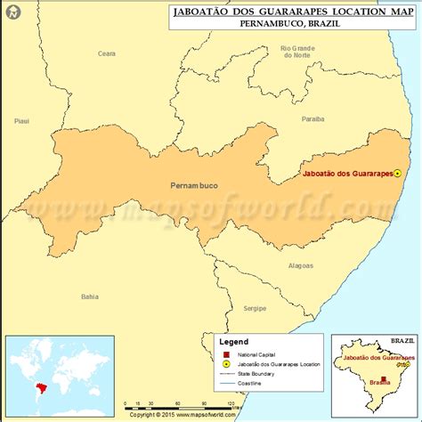
Administration Region: Pernambuco
Population: 702621
ISO2 Code: Pernambuco
ISO3 Code: BRA
Location Type:
Latitude: -8.1122
Longitude: -35.0156
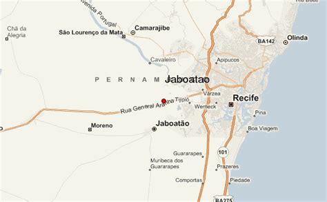
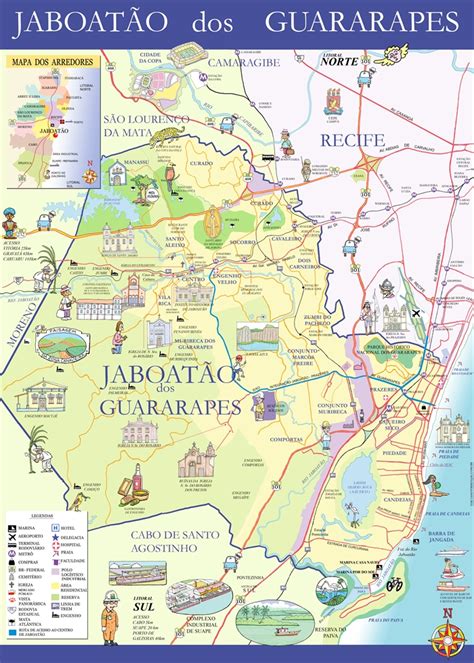
Jaboatão dos Guararapes (Portuguese pronunciation: [ʒabwaˈtɐ̃w duz ɡwaɾaˈɾapis]) is a city in the state of Pernambuco, Brazil. It is a part of the Recife metro area. The population was 706,867 according to the Brazilian Institute of Geography and Statistics (IBGE) in 2020, making it the second most-populous city in the state of Pernambuco and the 27th in Brazil, ahead of major Brazilian state capitals such as Cuiabá and Aracaju. The city is a very important industrial center, hosting companies like Unilever and Coca-Cola. It is bordered by Recife in the north, Cabo de Santo Agostinho on the south, and Mangue forests to the west in Moreno.
Top Jaboatão HD Maps, Free Download 🗺️
Map
Maps
United States
United States
World Map
China
China


