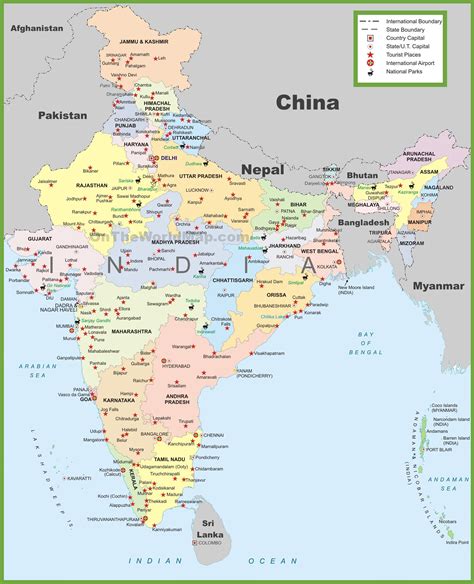
Location: Jāle 🌎
Location: Jāle, India
Administration Region: Bihār
Population: 38798
ISO2 Code: Bihār
ISO3 Code: IND
Location Type:
Latitude: 26.38
Longitude: 85.72
Jale, or Jalley, is a town and the administrative center of Jale Block, Darbhanga District, Bihar, India. It is located to the north of Bagmati River, about 32 kilometres northwest of the district capital Darbhanga. The town was named after Jaleshwari sthan which is a pilgrimage site in rural area of Darbhanga. In the year 2011, it has a total population of 37,256.
Top Jāle HD Maps, Free Download 🗺️
Map
Maps
United States
United States
World Map
China
China
