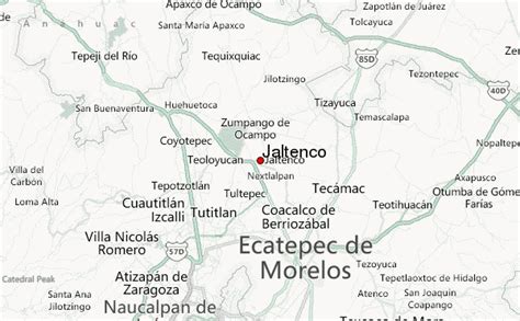
Jaltenco is the municipality located in Zumpango Region, a small municipality on this region, covers an area of 4.7 km², this territory is in the northeastern part of the state of Mexico in Mexico. The municipal seat is San Andrés Jaltenco, although both are commonly called only San Andrés. The municipality is located at a northern pass leading out of the Valley of Mexico to 60 kilometers north of Mexico City and about 200 km northeast of the state capital of Toluca.
As of 2005, the municipality had a total population of 26,359.