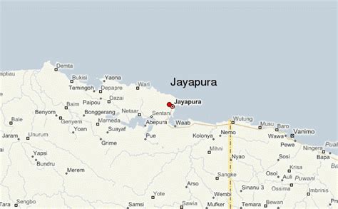
Location: Jayapura 🌎
Location: Jayapura, Indonesia
Administration Region: Papua
Population: 413283
ISO2 Code: Papua
ISO3 Code: IDN
Location Type: First-level Admin Capital
Latitude: -2.533
Longitude: 140.717
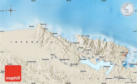
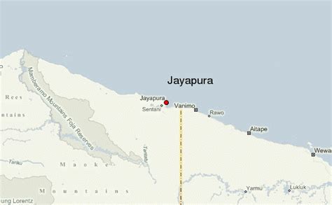
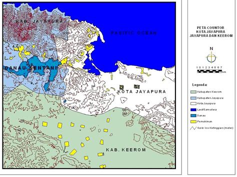
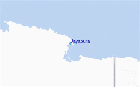
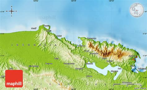
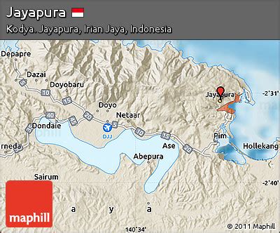
Jayapura (formerly Dutch: Hollandia) is the capital and largest city of the Indonesian province of Papua. It is situated on the northern coast of New Guinea island and covers an area of 940.0 km2 (362.9 sq mi). The city borders the Pacific Ocean and Yos Sudarso Bay to the north, the sovereign state of Papua New Guinea to the east, Keerom Regency to the south, and Jayapura Regency to the west.
With a population of 398,478 according to the 2020 census, Jayapura is the most populous city in the entire island of New Guinea, surpassing Port Moresby, the national capital of Papua New Guinea. It is also the fastest-growing city in Indonesia, with the population increasing by 55.23% since the previous census in 2010. The official estimate as at mid 2021 was 404,004.Jayapura is the fourth largest city by economy in Eastern Indonesia—after Makassar, Denpasar, and Manado—with an estimated 2016 GDP at Rp19.48 trillion. As of 2017, it is also the second-most expensive Indonesian city to live in, after Jakarta. Jayapura has a very high Human Development Index (HDI) at 0.801.
Top Jayapura HD Maps, Free Download 🗺️
Map
Maps
United States
United States
World Map
China
China
