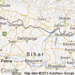
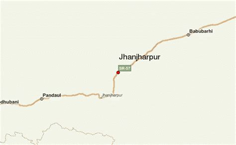
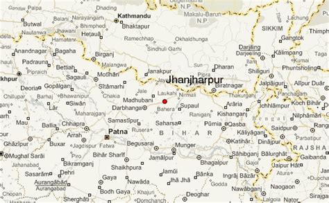
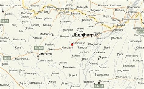
Location: Jhanjhārpur 🌎
Location: Jhanjhārpur, India
Administration Region: Bihār
Population: 31827
ISO2 Code: Bihār
ISO3 Code: IND
Location Type:
Latitude: 26.27
Longitude: 86.28
Jhanjharpur is a town and a sub-division in the Madhubani district of the state of Bihar, India. Jhanjharpur is well connected to the other cities of India with railways.Jhanjharpur town is connected with, Kamla Balan bridge, a century-old 220 ft bridge built by the British in the early 1900s, being a rail-cum-road bridge (first rail-cum-road bridge in India) It facilitates the movement of dozen of trains and hundreds of vehicles every day to and from Jhanjharpur.
The nearest airport is Darbhanga Airport which is 48 km away from Jhanjharpur. People can also take their flights for the different cities of India from the Lok Nayak Jayprakash Narayan International Airport which is 191 km away from Jhanjharpur and present in the capital city of Bihar “Patna”.
Top Jhanjhārpur HD Maps, Free Download 🗺️
Map
Maps
United States
United States
World Map
China
China
