Location: Jhānsi 🌎
Location: Jhānsi, India
Administration Region: Uttar Pradesh
Population: 507000
ISO2 Code: Uttar Pradesh
ISO3 Code: IND
Location Type:
Latitude: 25.4486
Longitude: 78.5696
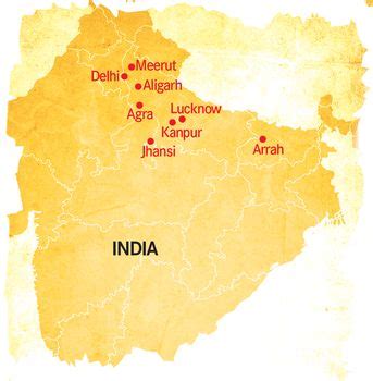
Jhansi (Hindi pronunciation: [d͡ʒʱɑ̃ː.siː]; Hindi: झांसी, Urdu: جھانسی pronunciation ) is a historic city in the Indian state of Uttar Pradesh. Balwant Nagar was the old name of Jhansi. It lies in the region of Bundelkhand on the banks of the Pahuj River, in the extreme south of Uttar Pradesh. Jhansi is the administrative headquarters of Jhansi district and Jhansi division. Also called the Gateway to Bundelkhand, Jhansi is situated near and around the rivers Pahuj and Betwa at an average elevation of 285 m (935 ft). It is about 420 kilometres (261 mi) from national capital New Delhi and 315 kilometres (196 mi) from state capital Lucknow.
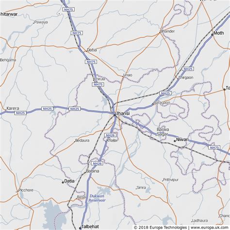
Jhansi is well connected to all other major towns in Uttar Pradesh by road and railway networks. The National Highways Development Project has supported development of the city. Jhansi is also being developed as the defense corridor by the NDA government which will boost the economy of the city and the region at the same time. Srinagar to Kanyakumari north–south corridor passes closely to Jhansi, as does the east–west corridor; consequently there has been a sudden rush of infrastructure and real estate development in the city. Jhansi was adjudged the third cleanest city of Uttar Pradesh and the fastest moving city in the North Zone in Swachh Survekshan 2018 rankings. The development of a greenfield airport has been planned in the city. On 28 August 2011 Jhansi was selected among 98 cities for smart city initiative by Government of India.

Top Jhānsi HD Maps, Free Download 🗺️
Map
Maps
United States
United States
World Map
China
China


