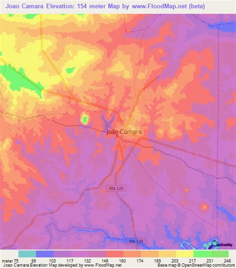
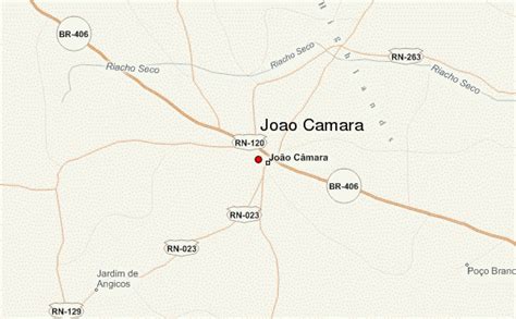
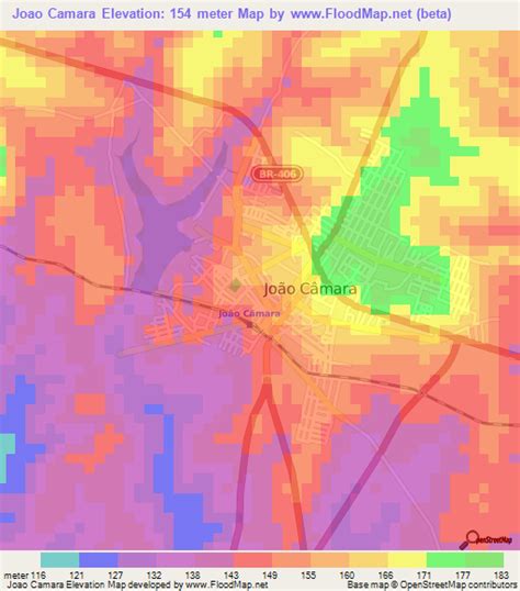
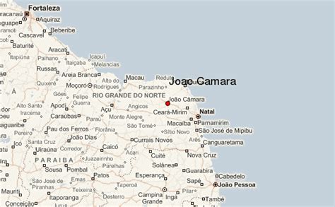
Location: João Câmara 🌎
Location: João Câmara, Brazil
Administration Region: Rio Grande do Norte
Population: 32227
ISO2 Code: Rio Grande do Norte
ISO3 Code: BRA
Location Type:
Latitude: -5.41
Longitude: -35.9
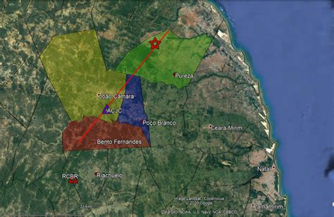
On 30 November 1986 at 02:19 local time, an earthquake with a moment magnitude of 5.1 right near João Câmara, located in the state of Rio Grande do Norte, Brazil. The event was felt over a large area of northeastern Brazil, including the cities of Natal and Mossoró. The earthquake caused significant damage in Joao Camara, where several buildings collapsed and many others were severely damaged, leaving thousands homeless. Usually referred to as the 1986 João Câmara earthquake (or Sismo de João Câmara de 1986 in Portuguese), it is widely remembered as one of the most significant events in the country’s history.The mainshock was preceded by a series of foreshocks that began in August, and was followed by a series of aftershocks which continued until 1990.

Top João Câmara HD Maps, Free Download 🗺️
Map
Maps
United States
United States
World Map
China
China


