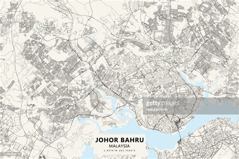
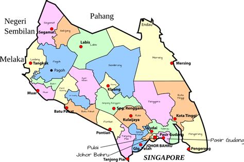
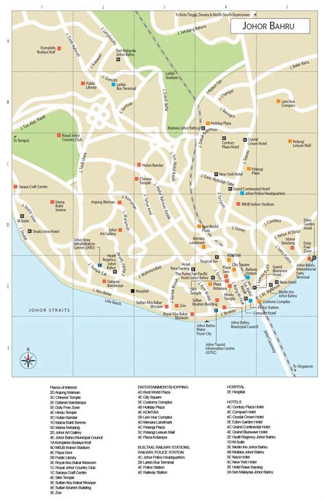
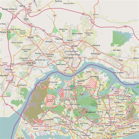
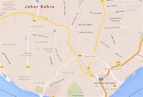
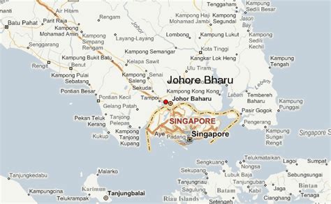
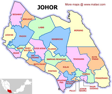
Johor Bahru (Malaysian pronunciation: [ˈdʒohor ˈbahru]), colloquially referred to as JB, is the capital city of the state of Johor, Malaysia. It is located at the southern end of Peninsular Malaysia, along the north bank of the Straits of Johor, opposite the city-state Singapore. The city has a population of 858,118 people within an area of 391.25 km2. Johor Bahru is adjacent to the city of Iskandar Puteri and Pasir Gudang, together with their surrounding areas anchoring Malaysia’s second largest urban agglomeration, Iskandar Malaysia, with a population of 2,246,712.Johor Bahru was founded in 1855 as Tanjung Puteri when the Sultanate of Johor came under the influence of Temenggong Daeng Ibrahim. The area was renamed “Johore Bahru” in 1862 and became the capital of the Sultanate when the Sultanate administration centre was moved there from Telok Blangah, which is today located within southern Singapore.Johor Bahru serves as one of the two land border connections on the Malaysian side between the countries of Singapore and Malaysia, the other being the Second Link that links Iskandar Puteri to Tuas. It is the busiest international border crossing in the world; its direct land link to Woodlands, Singapore through the causeway is a key economic driver of the border city. Johor Bahru is categorised as Zone A of Iskandar Malaysia and is adjacent to Senai International Airport and the 15th busiest port in the world, Port of Tanjung Pelepas.
During the reign of Sultan Abu Bakar, there was further development and modernisation within the city; with the construction of administrative buildings, schools, religious buildings, and railways connecting to Woodlands in Singapore. Along with most of Southeast Asia, Japanese forces occupied Johor Bahru from 1942 to 1945 during the Pacific War. Johor Bahru became the cradle of Malay nationalism after the war and a major political party known as the United Malays National Organisation (UMNO) was founded at the Istana Besar of Johor Bahru in 1946. After the formation of Malaysia in 1963, Johor Bahru retained its status as state capital and was granted city status in 1994. Today, it is one of the most developed cities in the nation and currently serves as the financial centre and logistics hub of southern Malaysia.