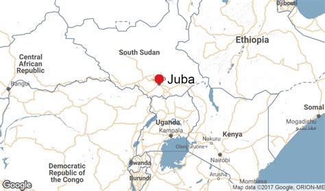
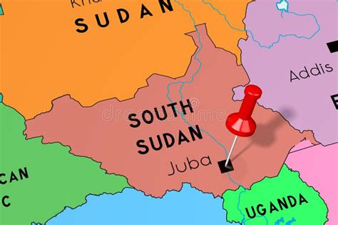
Location: Juba 🌎
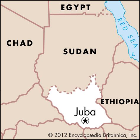
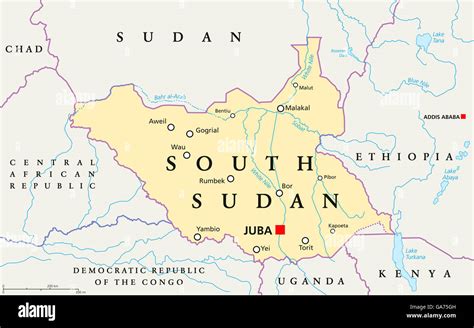
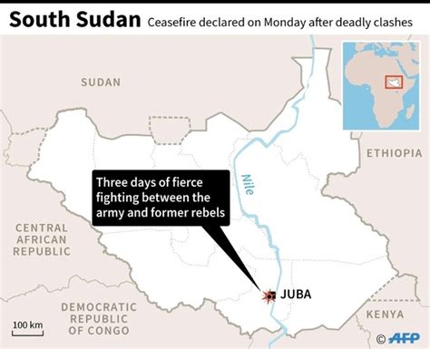
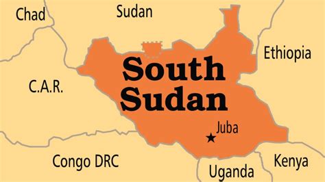
Location: Juba, South Sudan
Administration Region: Central Equatoria
Population: 525953
ISO2 Code: Central Equatoria
ISO3 Code: SSD
Location Type: Primary Capital
Latitude: 4.85
Longitude: 31.6
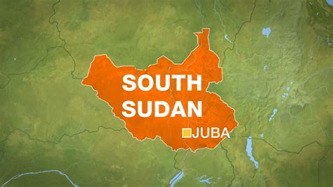
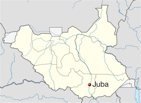
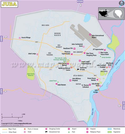
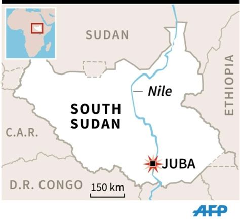
Juba () is the capital and largest city of South Sudan. The city is situated on the White Nile and also serves as the capital of the Central Equatoria State. It is the world’s newest capital city to be elevated as such, and had a population of 525,953 in 2017. It has an area of 52 km2 (20 sq mi), with the metropolitan area covering 336 km2 (130 sq mi).
Juba was established in 1920–21 by the Church Missionary Society (CMS) in a small Bari village, also called Juba. The city was made as the capital of Mongalla Province in the late 1920s. The growth of the town accelerated following the signing of the Comprehensive Peace Agreement in 2005, which made Juba the capital of the Autonomous Government of Southern Sudan. Juba became the capital of South Sudan in 2011 after its independence, but influential parties wanted Ramciel to be the capital. The government announced the move of the capital to Ramciel, but it is yet to occur.
Top Juba HD Maps, Free Download 🗺️
Map
Maps
United States
United States
World Map
China
China
