Location: Kaçanik 🌎
Location: Kaçanik, Kosovo
Administration Region: Kaçanik
Population: 33409
ISO2 Code: Kaçanik
ISO3 Code: XKS
Location Type: First-level Admin Capital
Latitude: 42.2467
Longitude: 21.2553
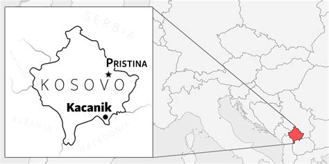
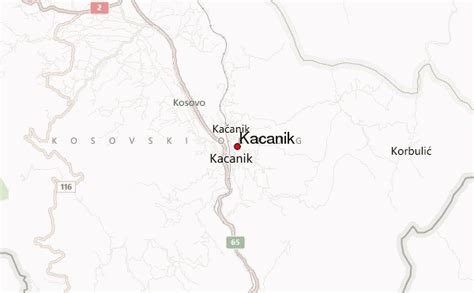
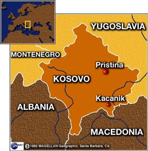
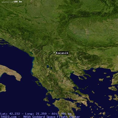
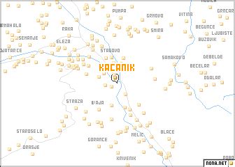
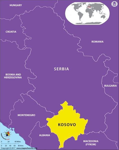
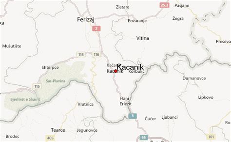
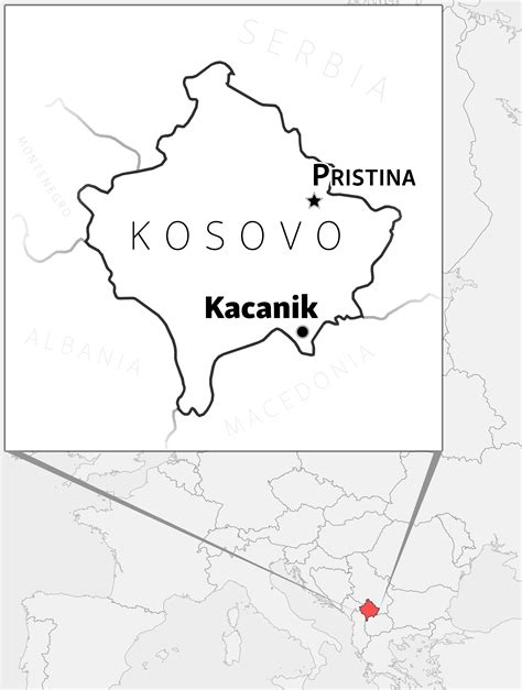
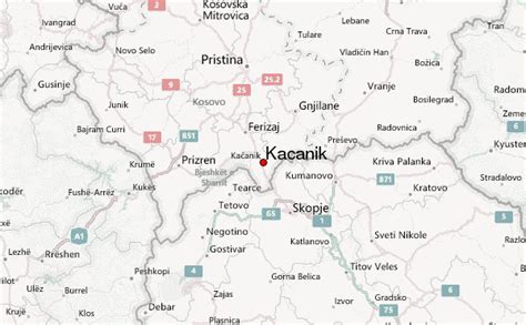
Kaçanik (definite Albanian form: Kaçaniku) or Kačanik (Serbian Cyrillic: Качаник, pronounced [kâtʃaniːk]) is a town and municipality located in the Ferizaj District of southern Kosovo. According to the 2011 census, the town of Kaçanik has 15,634 inhabitants, while the municipality has 33,409 inhabitants.
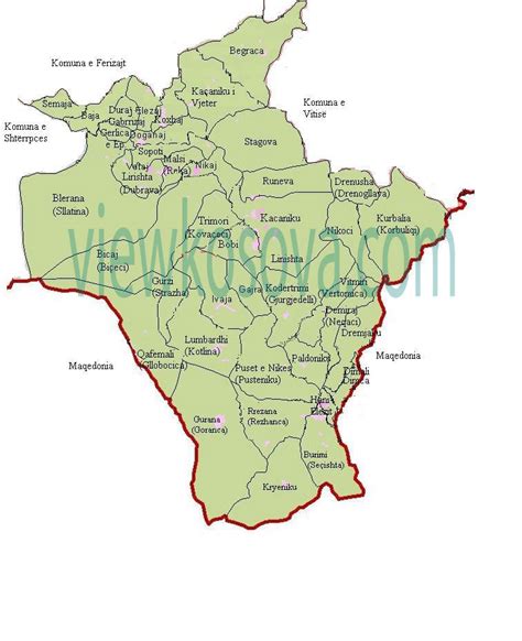
The municipality covers an area of 220 km2 (85 sq mi), including the town of Kaçanik and 31 villages.
![Kaçanik Download Free HD Maps, Regions and Roads (Images & PDFs)](https://upload.wikimedia.org/wikipedia/commons/3/3e/City_downtown.jpg)
Top Kaçanik HD Maps, Free Download 🗺️
Map
Maps
United States
United States
World Map
China
China