Location: Kâğıthane 🌎
Location: Kâğıthane, Turkey Administration Region: İstanbul Population: 437026 ISO2 Code: İstanbul ISO3 Code: TUR Location Type: Latitude: 41.0719 Longitude: 28.9664
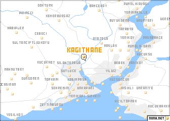
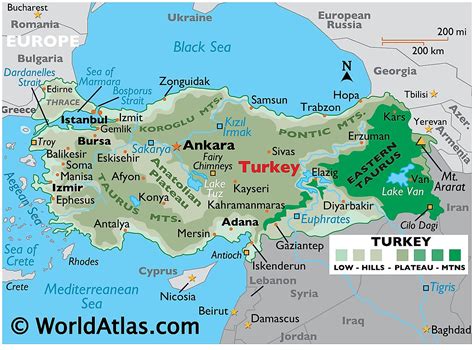
Kâğıthane (Turkish pronunciation: [caˈɯthane]), formerly Sadâbad (Ottoman Turkish: سعدآباد, romanized: Sa‘dābād) and Glykà Nerà (Greek: Γλυκά Νερά, Greek pronunciation: [ɡliˈka neˈra], ‘sweet waters’) is a neighbourhood at the far northern end of the Golden Horn on the European side of Istanbul, Turkey. It extends along the shores of the Alibeyköy and Kağıthane rivers that discharge into the Golden Horn. Formerly a working class district, Kağıthane is now part of a major real estate development area. Kağıthane means ‘paper mill’ in Turkish. The area formed part of the popular picnicking area known as the Sweet Waters of Europe.The mayor is Mevlüt Öztekin of the governing Ak Parti. Kâğıthane was part of Beyoğlu until 1954 and part of Şişli between 1954 and 1987. Neighbourhoods of Kâğıthane include Seyrantepe, Hamidiye, Çağlayan, Merkez (centre) and Gültepe. Kağıthane is served by the metro lines M7 and M11 and Çağlayan served by M7 only.

Top Kâğıthane HD Maps, Free Download 🗺️
Map
Maps
United States
United States
World Map
China
China