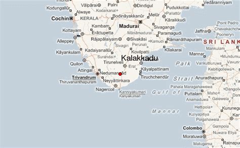
Location: Kalakkādu 🌎
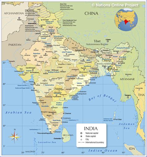
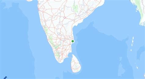
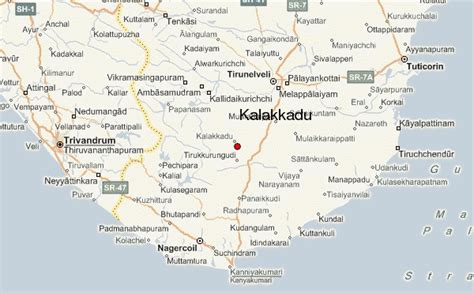
Location: Kalakkādu, India
Administration Region: Tamil Nādu
Population: 35758
ISO2 Code: Tamil Nādu
ISO3 Code: IND
Location Type:
Latitude: 8.6413
Longitude: 78.1273
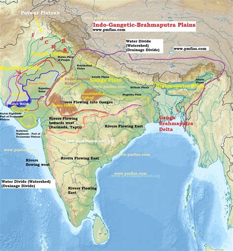
The Thamirabarani or Tamraparni or Porunai is a perennial river that originates from the Agastyarkoodam peak of Pothigai hills of the Western Ghats, above Papanasam in the Ambasamudram taluk. It flows through Tirunelveli and Thoothukudi districts of the Tamil Nadu state of southern India into the Gulf of Mannar. It was called the Tamraparni River in the pre-classical period, a name it lent to the island of Sri Lanka. The old Tamil name of the river is Porunai. From the source to sea, the river is about 128 kilometres (80 mi) long and is the only perennial river in Tamil Nadu. This river flows towards north direction initially. However, it changes to east direction later.

Top Kalakkādu HD Maps, Free Download 🗺️
Map
Maps
United States
United States
World Map
China
China
