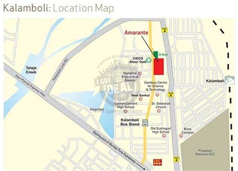
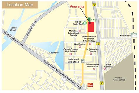
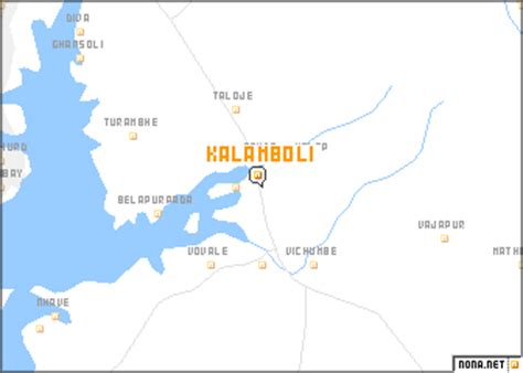
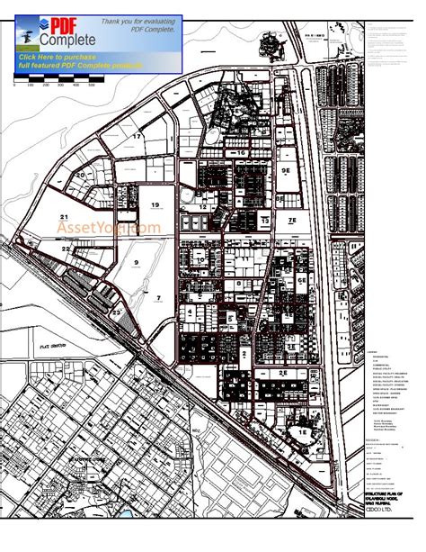
Kalamboli is one of the nodes of Navi Mumbai. It is a transportation hub, being situated at the junction of the Sion-Panvel Highway, NH 48, Panvel By-Pass, NH 66 and Mumbai-Pune Expressway and is among the biggest iron and steel delivery centers in India. The township, like the rest of Navi Mumbai, is divided into sectors, which are further divided into plots. The residential and commercial areas of Kalamboli are divided by the NH 4 highway. Roadpali, a region to the north of Kalamboli, is developing at a faster rate than the latter with many residential projects coming up due to availability of land. Roadpali is located along the Taloja Link Road. Kalamboli also houses the Navi Mumbai Police Headquarters. CIDCO is the nodal administrative body for Kalamboli node. Kalamboli also has a Sewage Water Treatment Plant owned by CIDCO. Kalamboli is now governed by Panvel Municipal Corporation (PMC). The terminal of Mumbai-Pune Expressway is at Kalamboli. It also has Navi Mumbai’s largest marble market alongside the Sion Panvel Highway.