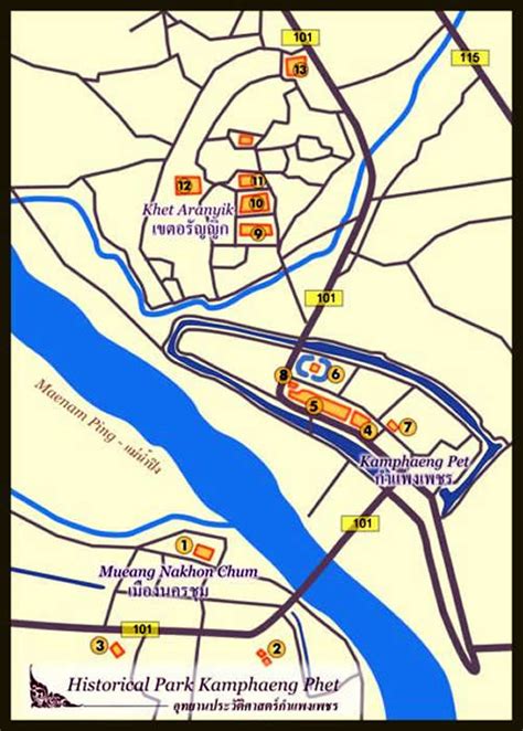
Location: Kamphaeng Phet 🌎
Location: Kamphaeng Phet, Thailand
Administration Region: Kamphaeng Phet
Population: 29178
ISO2 Code: Kamphaeng Phet
ISO3 Code: THA
Location Type: First-level Admin Capital
Latitude: 16.5581
Longitude: 99.5111
Kamphaeng Phet (Thai: กำแพงเพชร, pronounced [kām.pʰɛ̄ːŋ pʰét]) is a province in upper central Thailand. It borders the provinces of Sukhothai to the north; Phitsanulok to the northeast; Phichit to the east; Nakhon sawan to the south; and Tak to the west and northwest, covering over 8,607.49 square kilometres (3,323.37 sq mi) and is the fourth-largest provinces in central Thailand. Kamphaeng Phet has the Ping River flow through is main river of the province, making river flats make up much of the east of the province, while the west is mountainous which is part of Dawna Range and it covered with plentifully forest. Kamphaeng Phet known its natural beauty and has a long history, its many important places such as Kamphaeng Phet Historical Park, Khlong Lan National Park, and Mae Wong National Park.
Top Kamphaeng Phet HD Maps, Free Download 🗺️
Map
Maps
United States
United States
World Map
China
China
