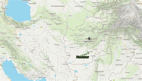
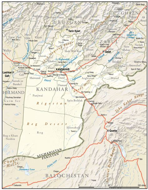
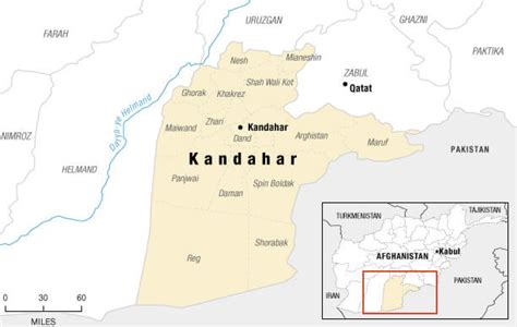
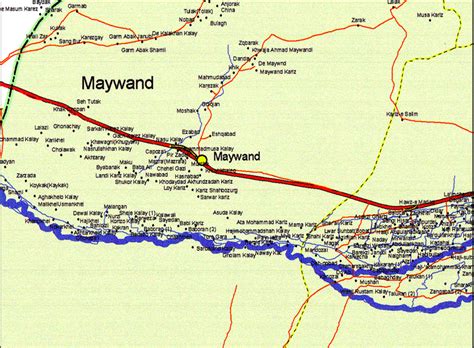
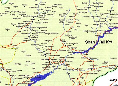
Kandahar (English: ; Pashto: کندهار, romanized: kandahār; Dari: قندهار, romanized: qandahār) is a city in Afghanistan, located in the south of the country on the Arghandab River, at an elevation of 1,010 m (3,310 ft). It is Afghanistan’s second largest city after Kabul, with a population of about 614,118. It is the capital of Kandahar Province as well as the headquarters of the Taliban, formally known as the Islamic Emirate of Afghanistan. It is also the centre of the larger cultural region called Loy Kandahar.
In 1709, Mirwais Hotak made the region an independent kingdom and turned Kandahar into the capital of the Hotak dynasty. In 1747, Ahmad Shah Durrani, founder of the Durrani dynasty, made Kandahar the capital of the Afghan Empire. Historically this province is considered as an important political area for Afghanistan revelations. Many empires have long fought over the city due to its strategic location along the trade routes of southern, central and western Asia.
Kandahar is one of the most culturally significant cities of the Pashtuns and has been their traditional seat of power for more than 300 years. It is a major trading center for sheep, wool, cotton, silk, felt, food grains, fresh and dried fruit, and tobacco. The region produces fine fruits, especially pomegranates and grapes, and the city has plants for canning, drying, and packing fruit, and is a major source of marijuana and hashish.The region around Kandahar is one of the oldest known human settlements. A major fortified city existed at the site of Kandahar, probably as early as c. 1000–750 BC, and it became an important outpost of the Achaemenid (Persian) Empire in the 6th century BC. Alexander the Great had laid-out the foundation of what is now Old Kandahar in the 4th century BC and gave it the Ancient Greek name Ἀλεξάνδρεια Ἀραχωσίας (Alexandria of Arachosia).