Location: Kangasala 🌎
Location: Kangasala, Finland
Administration Region: Pirkanmaa
Population: 32229
ISO2 Code: Pirkanmaa
ISO3 Code: FIN
Location Type: Lower-level Admin Capital
Latitude: 61.4667
Longitude: 24.0667
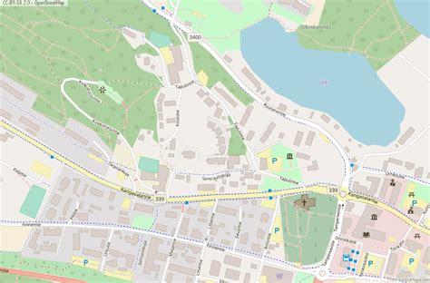
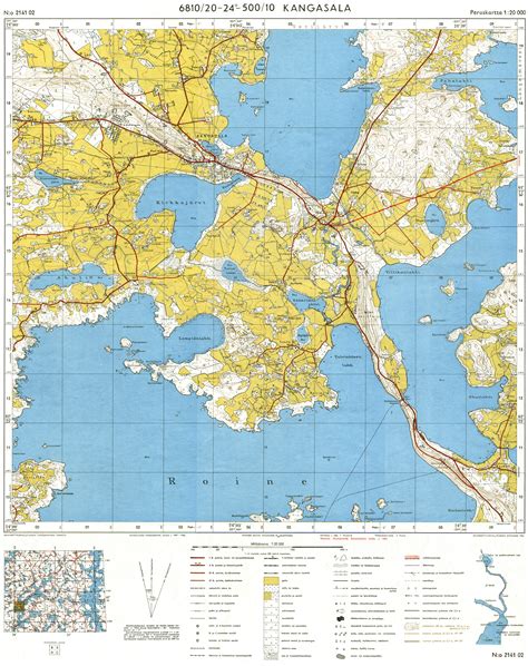
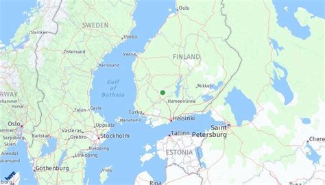
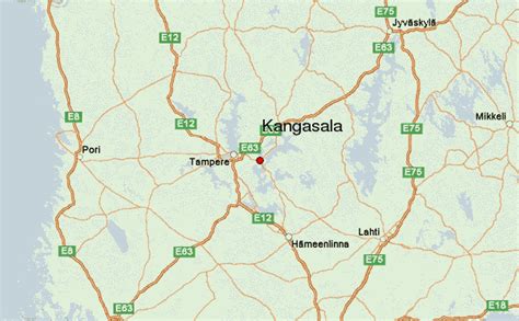
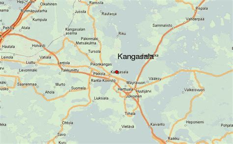
Kangasala is a city in Finland which is situated about 16 kilometres east of Tampere. The city was founded in 1865 and had a population of 32,982 people as of 28 February 2023. Kangasala covers an area of 870.86 km2 (336.24 sq mi) of which 212.83 km2 (82.17 sq mi) is water. The population density is 50.12 inhabitants per square kilometre (129.8/sq mi).
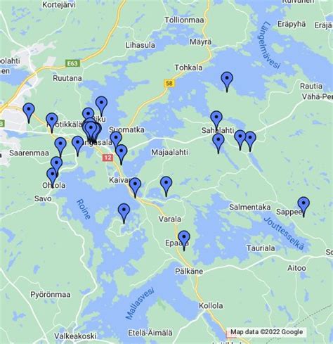
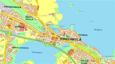
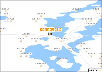
It is known for its mansions, such as Liuksiala, where the Swedish queen Karin Månsdotter lived as a widow, and Wääksy. Kangasala has a long history of tourism due to its cultural aspect, notably its museums. The landscape contains ridges and lakes. For instance, the lakes Roine, Längelmävesi, and Vesijärvi are located in Kangasala. These lakes are mentioned in the poem by Topelius. Vesijärvi is known to be the lake where the scenic view described in the lyrics is situated.
The municipality of Sahalahti was consolidated into Kangasala on 1 January 2005, and the municipality of Kuhmalahti on 1 January 2011.

Top Kangasala HD Maps, Free Download 🗺️
Map
Maps
United States
United States
World Map
China
China
