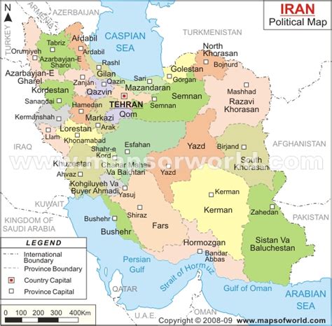
Location: Karaj 🌎
Location: Karaj, Iran
Administration Region: Alborz
Population: 1973470
ISO2 Code: Alborz
ISO3 Code: IRN
Location Type: First-level Admin Capital
Latitude: 35.8272
Longitude: 50.9489
Karaj (Persian: کرج, pronounced [kæˈɾædʒ] ) is the fourth largest city in Iran, being in close proximity of the capital Tehran. It is in the Central District of Karaj County, Alborz province, Iran, and serves as capital of the countyAlthough the county hosts a population around 1.97 million, as recorded in the 2016 census, most of the 1,419 km2 (548 sq mi) county is rugged mountain. The urban area is the fourth-largest in Iran, after Tehran, Mashhad, and Isfahan. Eshtehard County and Fardis County were split off from Karaj County since the previous census.At the National Census of 2006, Karaj had a population of 1,377,450 in 385,955 households, when it was in Tehran province. The latest census in 2016 counted 1,592,492 people in 508,420 households, by which time the county had separated from the province and become a part of recently established Alborz province.The earliest records of Karaj date back to the 30th century BC. The city was developed under the rule of the Safavid and Qajar dynasties and is home to historical buildings and memorials from those eras. This city has a unique climate due to access to natural resources such as many trees, rivers, and green plains. After Tehran, Karaj is the largest immigrant-friendly city in Iran, so it has been nicknamed “Little Iran.”

Top Karaj HD Maps, Free Download 🗺️
Map
Maps
United States
United States
World Map
China
China


