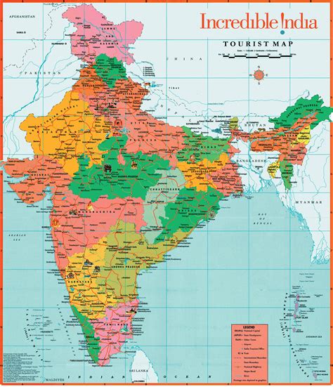
Location: Kāramadai 🌎
Location: Kāramadai, India
Administration Region: Tamil Nādu
Population: 36718
ISO2 Code: Tamil Nādu
ISO3 Code: IND
Location Type:
Latitude: 11.2428
Longitude: 76.9587
Karamadai is town located near Mettupalayam, in the Indian state of Tamil Nadu. It is located on Coimbatore – Ooty NH 67. Nearby places are Teachers colony, Press Colony, Jodhipuram and Periyanaickenpalayam. The Ranganathaswamy temple and Nanjundeswarar temple are the most prominent landmarks in the town. The place of Karamadai came into limelight due to the presence of ex-steel giant Sri Ramakrishna Steel Industries.
Top Kāramadai HD Maps, Free Download 🗺️
Map
Maps
United States
United States
World Map
China
China
