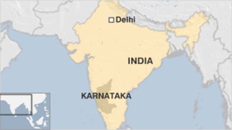
Location: Karanjiā 🌎
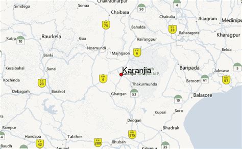
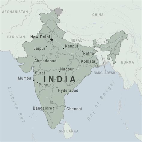
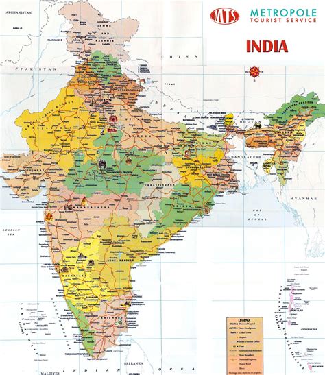
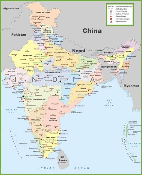
Location: Karanjiā, India Administration Region: Odisha Population: 28302 ISO2 Code: Odisha ISO3 Code: IND Location Type: Latitude: 21.78 Longitude: 85.97
Karanjia is a town in the eastern Indian state of Odisha, about 221 kilometres (134 mi) north of the state capital Bhubaneswar. It is the sub-divisional headquarter of Panchpir sub-division and a Notified Area Council in Mayurbhanj district. It is bounded on its South-East by Deo river which forms the natural district border for Mayurbhanj.

Top Karanjiā HD Maps, Free Download 🗺️
Map
Maps
United States
United States
World Map
China
China