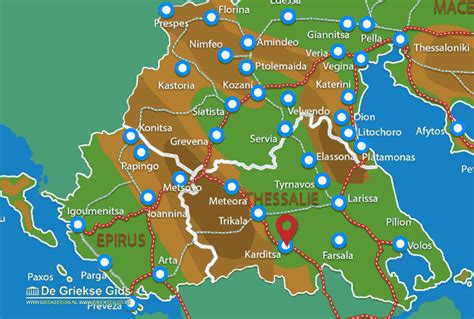
Location: Kardítsa 🌎
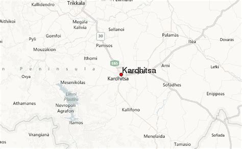
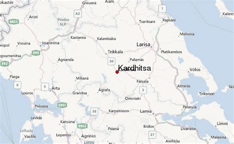
Location: Kardítsa, Greece
Administration Region: Thessalía
Population: 38554
ISO2 Code: Thessalía
ISO3 Code: GRC
Location Type: Lower-level Admin Capital
Latitude: 39.3667
Longitude: 21.9167
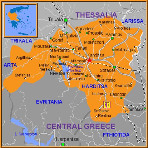
Karditsa (Greek: Καρδίτσα [karˈðitsa]) is a city in western Thessaly in mainland Greece. The city of Karditsa is the capital of Karditsa regional unit of region of Thessaly.
Inhabitation is attested from 9000 BC. Karditsa ls linked with GR-30, the road to Karpenisi, and the road to Palamas and Larissa. Karditsa is south-west of Palamas and Larissa, west of Farsala and the Volos area, north-west of Athens, Lamia, Domokos and Sofades, north of Karpenisi, north-east of Arta, and east-south-east of Trikala, Grevena, Ioannina, and Kalampaka.
Karditsa has elementary schools, high schools, junior high schools, the Veterinary Medicine Department of the University of Thessaly which is one of only two Veterinary departments in Greece, three other university departments of the University of Thessaly, churches, banks, a post office, a railway station, a sports ground, a water tower, and squares. Karditsa is one of the most bicycle-friendly cities in Greece with an extensive network of bicycle paths. Approximately 30% of all the city transportation, according to the National Technical University of Athens, is done by bicycles.

Top Kardítsa HD Maps, Free Download 🗺️
Map
Maps
United States
United States
World Map
China
China
