Location: Karlskoga 🌎
Location: Karlskoga, Sweden
Administration Region: Örebro
Population: 27562
ISO2 Code: Örebro
ISO3 Code: SWE
Location Type: Lower-level Admin Capital
Latitude: 59.3333
Longitude: 14.5167
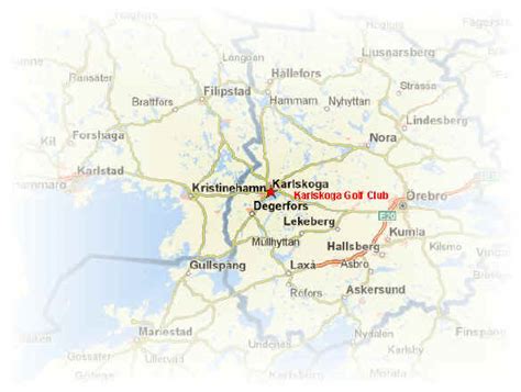
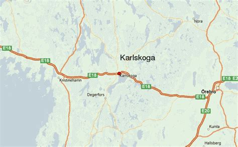
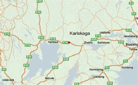
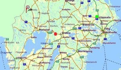
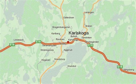
Karlskoga (Swedish pronunciation: [kaɭˈskûːɡa] ) is a locality and the seat of Karlskoga Municipality, Sweden. Located within Örebro County, 45 km (28 mi) west of Örebro, and 10 km (6 mi) north of Degerfors. With a 2020 population of 27,386 distributed over 10.55 square miles (27.33 km2), Karlskoga is the second-largest city in both Örebro County and the historical province of Värmland.
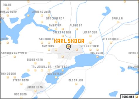
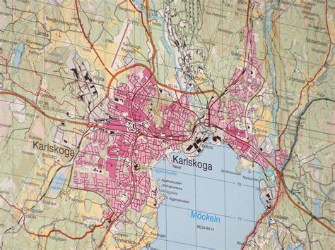
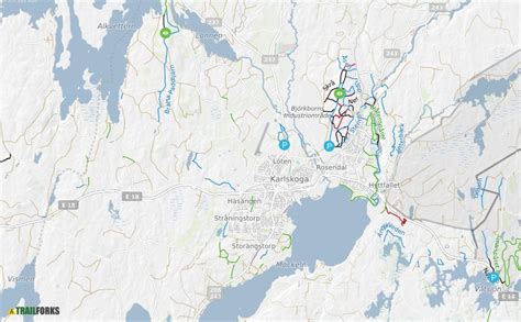
Karlskoga straddles the northern shore of Lake Möckeln. Among the city’s main topographical features are the two rivers, Timsälven and Svartälven. Other features include an esker, Rävåsen, contiguous with the city center. The broader Karlskoga-area differs from its bordering regions, as covered by woodlands and an uneven topography that more fitted other activities rather than agricultural practices.
Karlskoga evolved around the arms manufacturer Bofors, and by 1970, it counted almost 10,000 employees. The many jobs in the arms industry during the 1900s multiplied Karlskoga’s population. Today, Karlskoga is still a thriving center of the arms industry, but its economy is more diverse than during the peak-Bofors era.
Karlskoga is also home to the Björkborn Manor, on the property of the Björkborn Works, where Alfred Nobel lived. His residency there is the reason his will was adjudicated in Karlskoga at Karlshall, establishing the Nobel Prize. Other landmarks include the Nobel Laboratory, the Karlskoga Church, Mässen, and the Bofors Hotel.

Top Karlskoga HD Maps, Free Download 🗺️
Map
Maps
United States
United States
World Map
China
China
