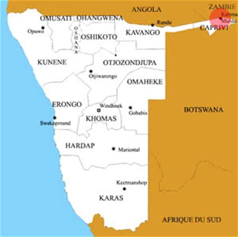
Location: Katima Mulilo 🌎
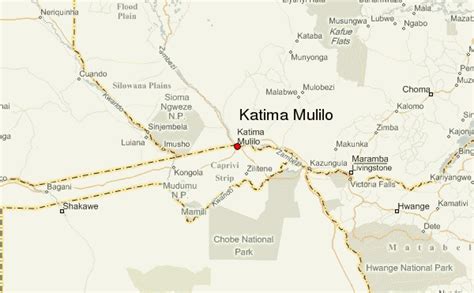
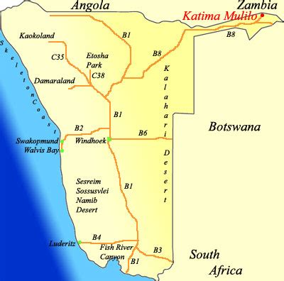
Location: Katima Mulilo, Namibia Administration Region: Zambezi Population: 28699 ISO2 Code: Zambezi ISO3 Code: NAM Location Type: First-level Admin Capital Latitude: -17.5039 Longitude: 24.275
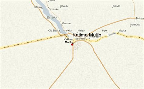
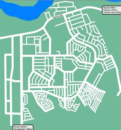
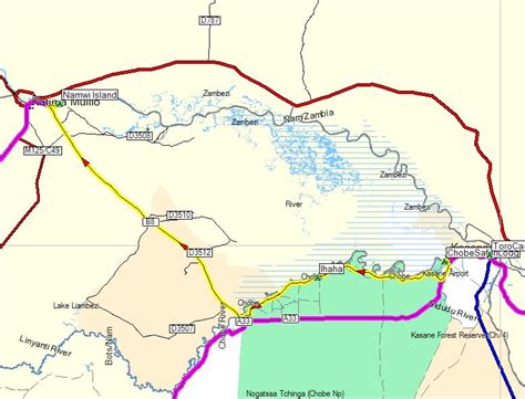
Katima Mulilo or simply Katima is the capital of the Zambezi Region in Namibia. It had 28,362 inhabitants in 2010, and comprises two electoral constituencies, Katima Mulilo Rural and Katima Mulilo Urban. It is located on the national road B8 on the banks of the Zambezi River in the Caprivi Strip in lush riverine vegetation with tropical birds and monkeys. The town receives an annual average rainfall of 654 millimetres (25.7 in).The nearest Namibian town to Katima Mulilo is Rundu, about 500 km away. About 40 km east of Katima Mulilo lies the village of Bukalo, where the road to Ngoma branches off that joins Namibia to Botswana.

Top Katima Mulilo HD Maps, Free Download 🗺️
Map
Maps
United States
United States
World Map
China
China