Location: Katlehong 🌎
Location: Katlehong, South Africa
Administration Region: Gauteng
Population: 467890
ISO2 Code: Gauteng
ISO3 Code: ZAF
Location Type:
Latitude: -26.3333
Longitude: 28.15
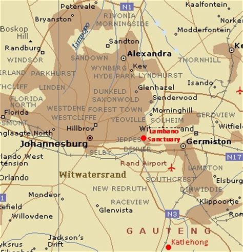
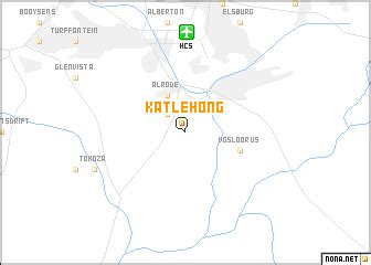
Katlehong is a large township in the Gauteng Province of South Africa. It is 28 km south-east of Johannesburg and south of Germiston between two other townships of Thokoza and Vosloorus next to the N3 highway. It forms part of the City of Ekurhuleni Metropolitan Municipality.
Top Katlehong HD Maps, Free Download 🗺️
Map
Maps
United States
United States
World Map
China
China

