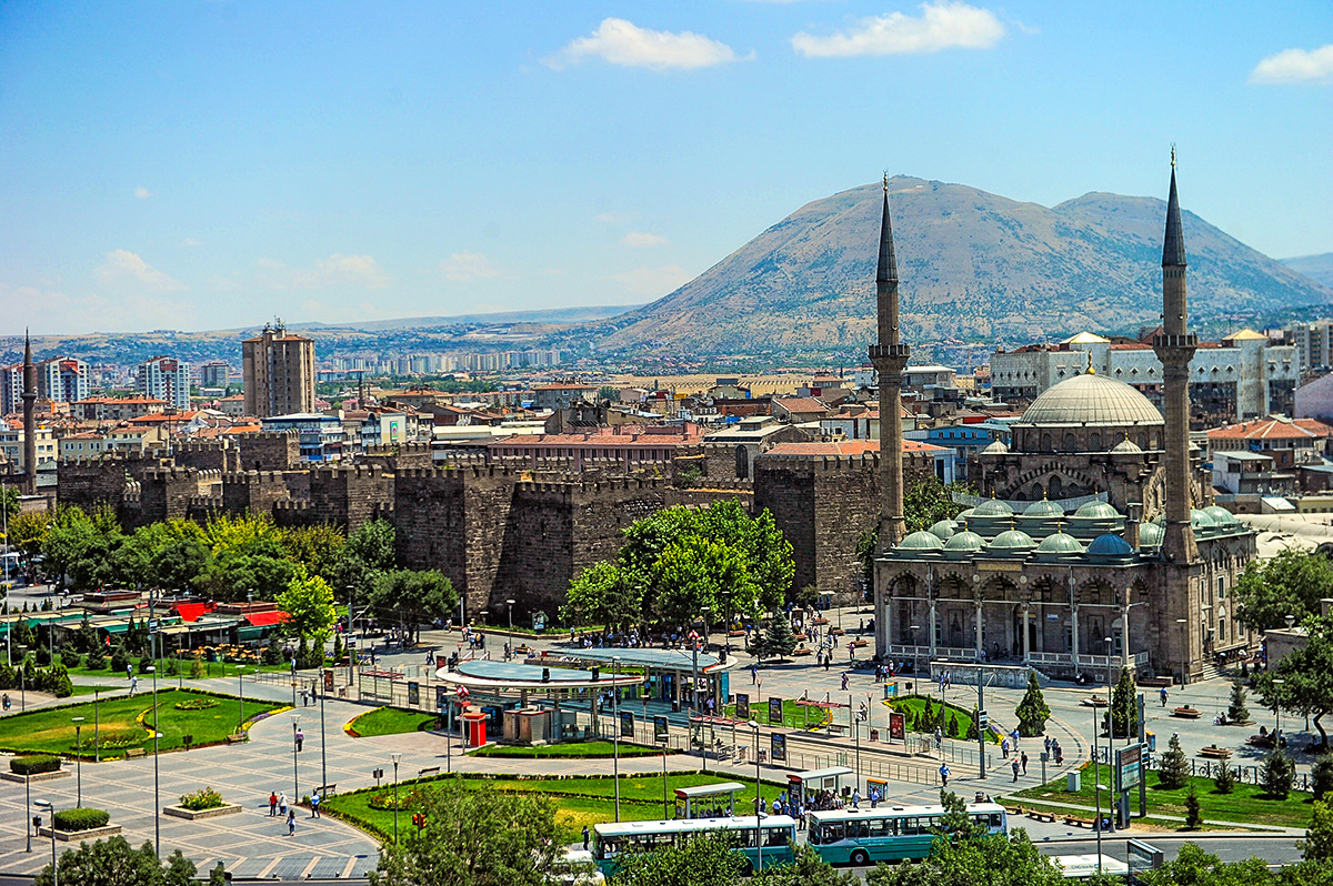
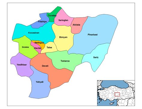
Kayseri (Turkish pronunciation: [ˈkajseɾi]; Greek: Καισάρεια) is a large industrialised city in Central Anatolia, Turkey, and the capital of Kayseri province. Historically known as Caesarea, it has been the historical capital of Cappadocia since ancient times. The Kayseri Metropolitan Municipality area is composed of five districts: the two central districts of Kocasinan and Melikgazi, and since 2004, also outlying Hacılar, İncesu and Talas.
As of 31 December 2021, the province had a population of 1,434,357 of whom 1,175,886 live in the four urban districts, excluding İncesu which is not conurbated (i.e. not contiguous, having a largely non-protected buffer zone).
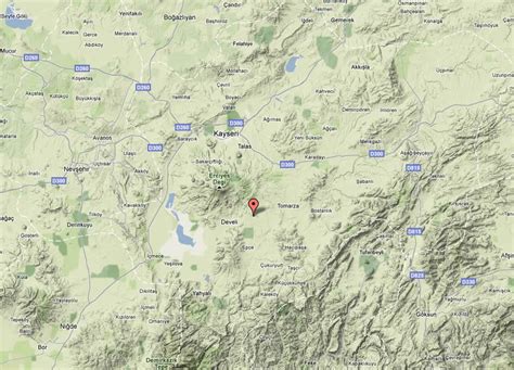
Kayseri sits at the foot of Mount Erciyes (Turkish: Erciyes Dağı), a dormant volcano that reaches an altitude of 3,916 metres (12,848 feet), more than 1,500 metres above the city’s mean altitude. It contains a number of historic monuments, particularly from the Seljuk period. Tourists often pass through Kayseri en route to the attractions of Cappadocia to the west.
Kayseri is served by Erkilet International Airport and is home to Erciyes University.