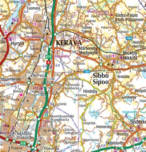
Location: Kerava 🌎
Location: Kerava, Finland
Administration Region: Uusimaa
Population: 35293
ISO2 Code: Uusimaa
ISO3 Code: FIN
Location Type: Lower-level Admin Capital
Latitude: 60.4
Longitude: 25.1
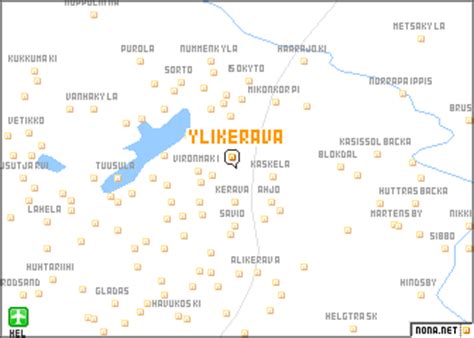
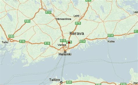
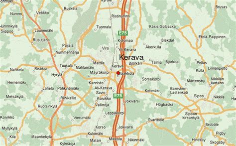
Kerava (Finnish pronunciation: [ˈkerɑʋɑ]; Swedish: Kervo) is a town and municipality within the Uusimaa region of Finland. The municipalities of Vantaa, Sipoo and Tuusula are adjacent to Kerava, which is part of the Helsinki metropolitan area.The town has a population of 37,797 (28 February 2023) and covers an area of 30.79 square kilometres (11.89 sq mi) of which 0.17 km2 (0.066 sq mi) is water. The population density is 1,234.39 inhabitants per square kilometre (3,197.1/sq mi). Kerava is the 30th largest municipality in terms of population, but the 5th smallest municipality in terms of area in Finland (and the second smallest in the Uusimaa region after Kauniainen). However, it is also the third most densely populated area in the sub-region after Helsinki and Kauniainen. The municipality is unilingually Finnish.
The Sinebrychoff brewery operations are based in Kerava. There is also a well-known prison in the town (Keravan vankila), which includes 94 places in the open prison ward.
Top Kerava HD Maps, Free Download 🗺️
Map
Maps
United States
United States
World Map
China
China

