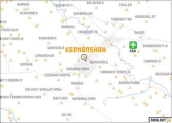
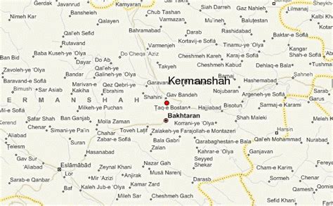
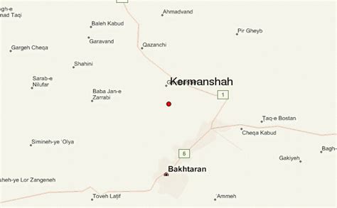
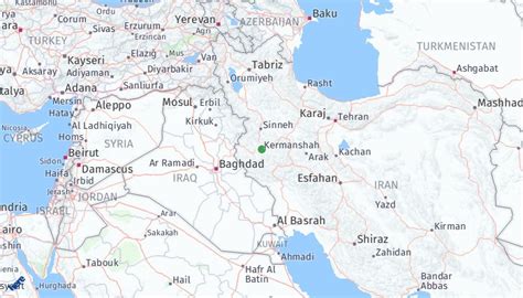
Location: Kermānshāh 🌎
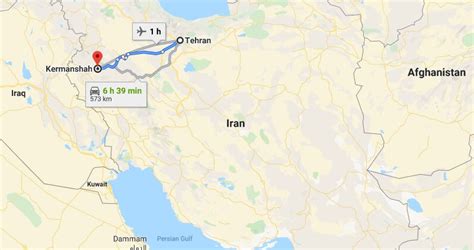
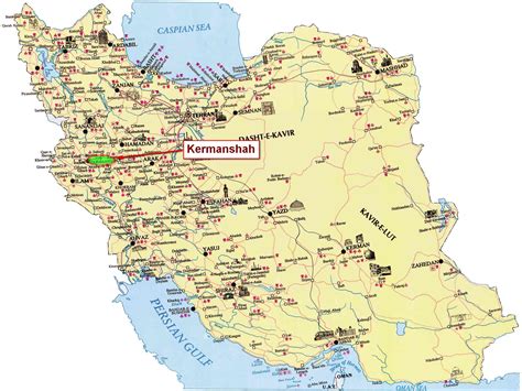
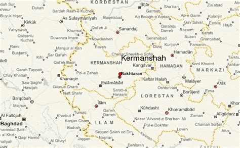
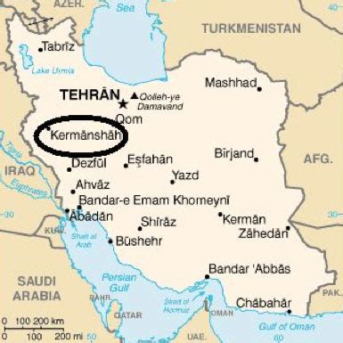
Location: Kermānshāh, Iran
Administration Region: Kermānshāh
Population: 952285
ISO2 Code: Kermānshāh
ISO3 Code: IRN
Location Type: First-level Admin Capital
Latitude: 34.3176
Longitude: 47.0869
Kermanshah Province (Persian: استان كرمانشاه, romanized: Ostān-e Kermanšah, Kurdish: پارێزگای کرماشان, romanized: Parêzgeha Kirmaşan) is one of the 31 provinces of Iran. The province was known from 1969 to 1986 as Kermanshahan, and from 1986 to 1995 as Bakhtaran. The capital of the province is the city of Kermanshah. According to a 2014 segmentation by the Ministry of Interior, it is the center of Region 4, with the region’s central secretariat located in Kermanshah. A majority of people in Kermanshah Province are Shia, and there are Sunni and Yarsani minority groups.At the time of the National Census conducted in 2006, the population of Kermanshah province was 1,842,457 in 444,185 households. By the time of the following census in 2011, there were 1,945,227 people in 530,911 households. At the latest census in 2016, Kermanshah had a population of 1,952,434 in 576,861 households.

Top Kermānshāh HD Maps, Free Download 🗺️
Map
Maps
United States
United States
World Map
China
China
