Location: Kernersville 🌎
Location: Kernersville, United States
Administration Region: North Carolina
Population: 26376
ISO2 Code: North Carolina
ISO3 Code: USA
Location Type:
Latitude: 36.1161
Longitude: -80.0819
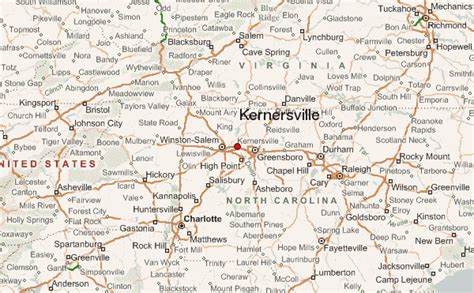
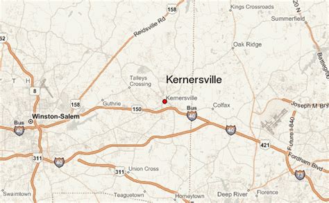
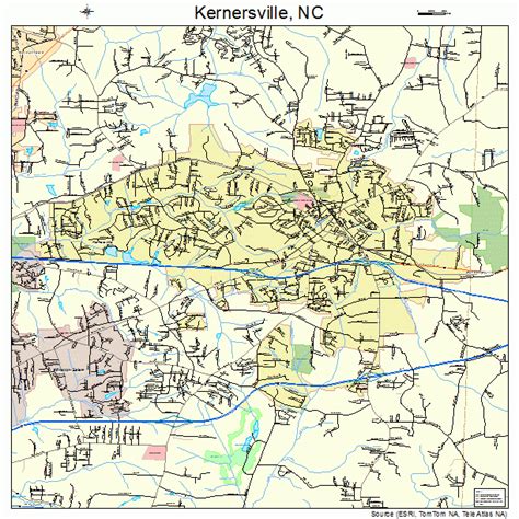
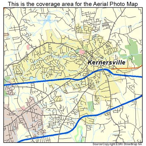
Kernersville is a town in Forsyth County and the largest suburb of Winston-Salem. The town is located in the U.S. state of North Carolina. A small portion of the town is also in Guilford County. The population was 26,481 at the 2020 census, up from 23,123 in 2010. Kernersville is located at the center of the Piedmont Triad metropolitan area, between Greensboro to the east, High Point to the south, and Winston-Salem to the west. Some of the farmland surrounding the town has been sold and turned into large middle-to-upper-class housing developments. The Winston-Salem Northern Beltway, a partial loop running around the city of Winston-Salem, as introduced in 2014, and will eventually go through Kernersville by the late 2020’s or early 2030’s. The loop crosses Salem Parkway between Linville Rd and South Main Street. Then further to the south, it crosses I-40 between Union Cross Rd and I-74 and Route 311 near Winston-Salem. Then, it will end with an interchange with I-74 and Route 311 between Union Cross Rd and Ridgewood Rd. Further north, it passes West Mountain St and eventually Route 158 in Walkertown. Another nickname for Kernersville is K-Vegas. Walkertown is 7.1 miles to the west-northwest via Highway 66. Winston-Salem is 11 miles to the west via Salem Parkway. Greensboro is 21 miles to the east via I-40. Wallburg is 9.8 miles to the south via Union Cross Rd and Gumtree Rd. High Point is 14 miles to the southeast via I-74.
Top Kernersville HD Maps, Free Download 🗺️
Map
Maps
United States
United States
World Map
China
China


