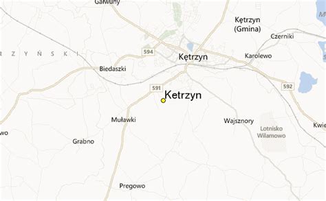
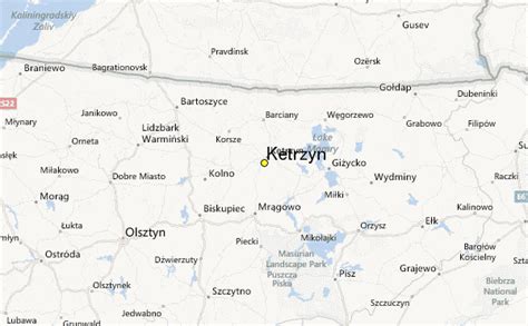
Location: Kętrzyn 🌎
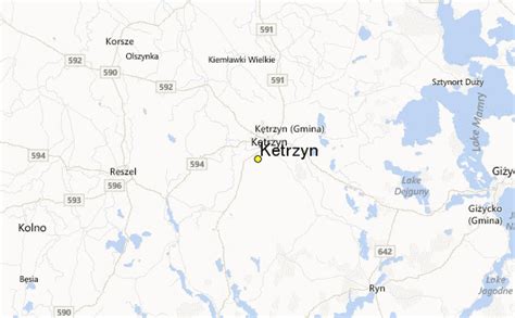
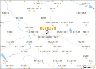
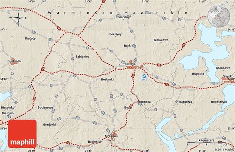
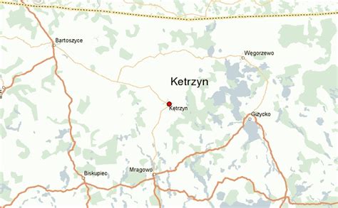
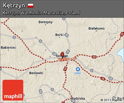
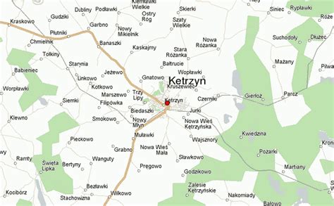
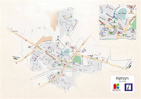
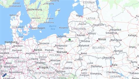
Location: Kętrzyn, Poland Administration Region: Warmińsko-Mazurskie Population: 27827 ISO2 Code: Warmińsko-Mazurskie ISO3 Code: POL Location Type: Lower-level Admin Capital Latitude: 54.0833 Longitude: 21.3833
Kętrzyn ([ˈkɛntʂɨn] , until 1946 Rastembork; German: Rastenburg [ˈʁastn̩bʊʁk] ) is a town in northeastern Poland with 27,478 inhabitants (2019). It is the capital of Kętrzyn County in the Warmian-Masurian Voivodeship. The town is known for the surrounding Masurian Lakeland and numerous monuments of historical value such as the Wolf’s Lair in nearby Gierłoż, where an assassination attempt against Hitler was made in 1944.

Top Kętrzyn HD Maps, Free Download 🗺️
Map
Maps
United States
United States
World Map
China
China