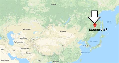
Location: Khabarovsk 🌎
Location: Khabarovsk, Russia
Administration Region: Khabarovskiy Kray
Population: 616242
ISO2 Code: Khabarovskiy Kray
ISO3 Code: RUS
Location Type: First-level Admin Capital
Latitude: 48.4833
Longitude: 135.0833
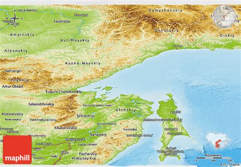
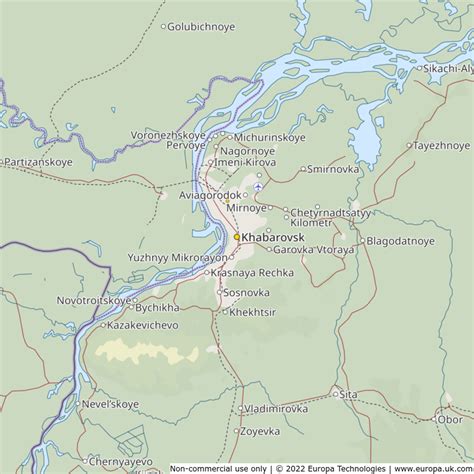
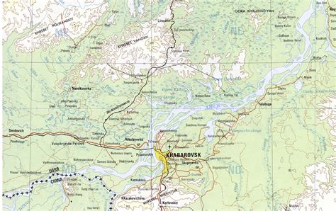
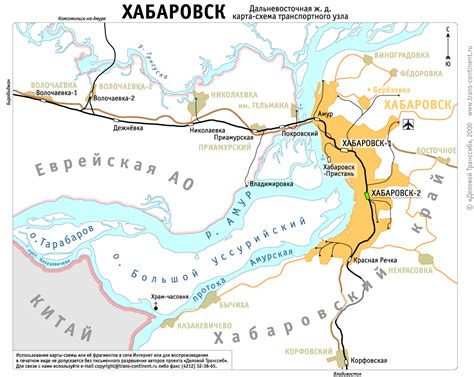
Khabarovsk (Russian: Хабaровск, IPA: [xɐˈbarəfsk] ) is the largest city and the administrative centre of Khabarovsk Krai, Russia, located 30 kilometers (19 mi) from the China–Russia border, at the confluence of the Amur and Ussuri Rivers, about 800 kilometers (500 mi) north of Vladivostok. With a 2010 population of 577,441, it is Russia’s easternmost city. The city was the administrative center of the Far Eastern Federal District of Russia from 2002 until December 2018, when Vladivostok took over that role. It is the largest city in the Russian Far East, having overtaken Vladivostok in 2015. It was known as Khabarovka until 1893. As is typical of the interior of the Russian Far East, Khabarovsk has an extreme climate with very strong seasonal swings resulting in strong cold winters and relatively hot and humid summers.

Top Khabarovsk HD Maps, Free Download 🗺️
Map
Maps
United States
United States
World Map
China
China
