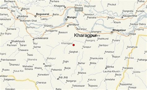
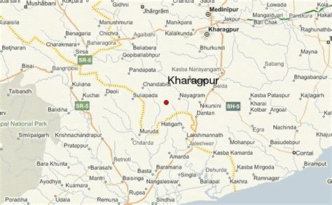
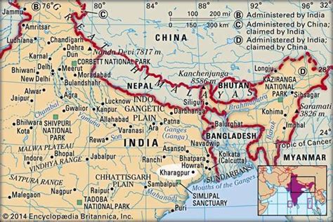
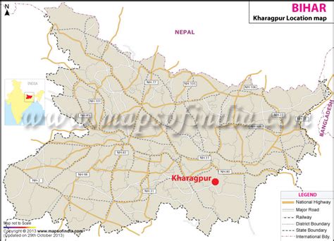
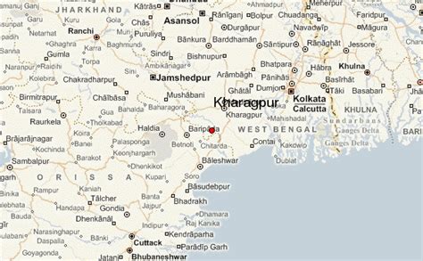
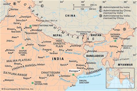
Location: Kharagpur 🌎
Location: Kharagpur, India
Administration Region: West Bengal
Population: 207604
ISO2 Code: West Bengal
ISO3 Code: IND
Location Type:
Latitude: 22.3197
Longitude: 87.31
Indian Institute of Technology Kharagpur (IIT Kharagpur) is a public institute of technology established by the Government of India in Kharagpur, West Bengal, India. Established in 1951, the institute is the first of the IITs to be established and is recognised as an Institute of National Importance. In 2019 it was awarded the status of Institute of Eminence by the Government of India.The institute was initially established to train engineers after India attained independence in 1947. However, over the years, the institute’s academic capabilities diversified with offerings in management, law, architecture, humanities, etc. IIT Kharagpur has an 8.7-square-kilometre (2,100-acre) campus and has about 22,000 residents.
Top Kharagpur HD Maps, Free Download 🗺️
Map
Maps
United States
United States
World Map
China
China
