Location: Khawr Fakkān 🌎
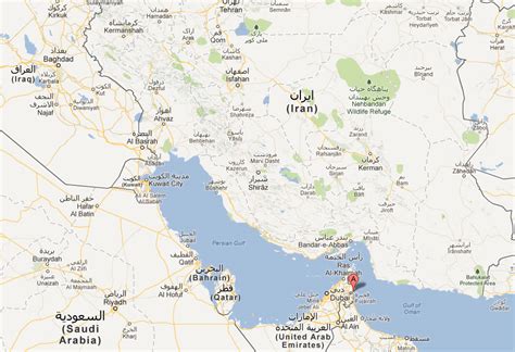
Location: Khawr Fakkān, United Arab Emirates
Administration Region: Ash Shāriqah
Population: 39515
ISO2 Code: Ash Shāriqah
ISO3 Code: ARE
Location Type:
Latitude: 25.3333
Longitude: 56.35
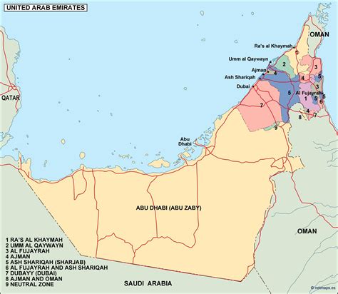
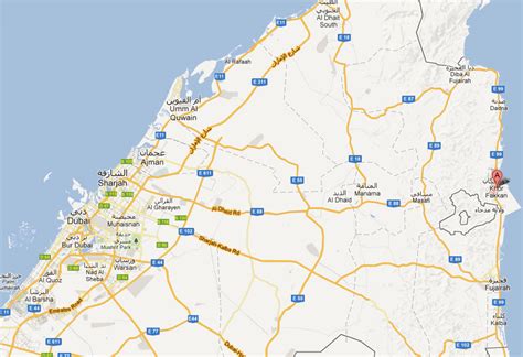
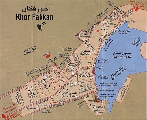
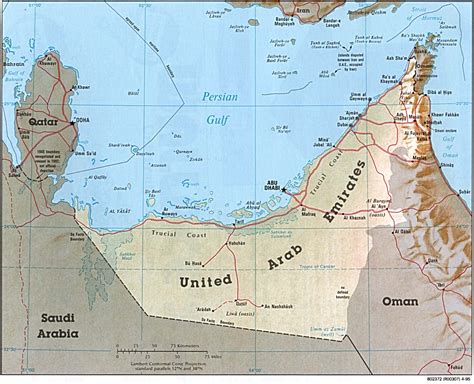
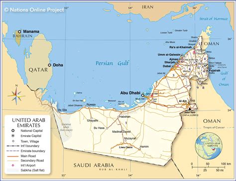
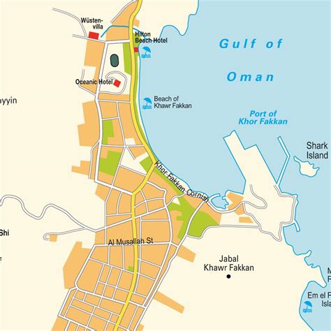
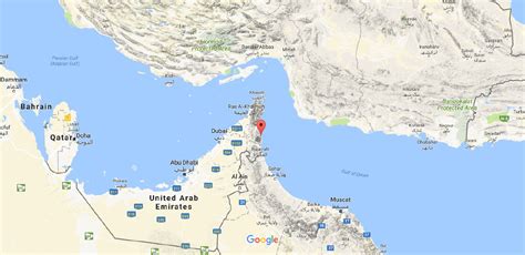
Khor Fakkan (Arabic: خَوْر فَكَّان, romanized: Khawr Fakkān) is a city and exclave of the Emirate of Sharjah, located on the east coast of the United Arab Emirates (UAE), facing the Gulf of Oman, and geographically surrounded by the Emirate of Fujairah. The city, the second largest on the east coast after Fujairah City, is set on the bay of Khor Fakkan, which means “Creek of Two Jaws”. It is the site of Khor Fakkan Container Terminal, the only natural deep-sea port in the region and one of the major container ports in the UAE. The Port of Khor Fakkan faces the Emirate of Sharjah’s eastern seaboard, extending connections with Asia and the Far East. This port is one of the Emirate’s three ports.It is also a popular spot among domestic tourists due to its white sand beaches and coral reefs that attract many marine life enthusiasts. Khor Fakkan beach lies to the north of the center of the town. Khor Fakkan is located on the east coast of the UAE, between the Shumayliyah Mountains and the Arabian Sea, with an altitude of 1,023 meters (3,356 ft) at al Hilqah Mountain (Jebel al Hilqah). The bay of Khor Fakkan faces the northeast and is protected from prevailing winds by a jetty serving terminal for container ships. In the mountains of Khor Fakkan and off the Sharjah-Khor Fakkan highway lies the Rifaisa Dam that is considered to have been built over a village, and thus when the water is very quiet, the tops of the old houses are visible. The development of Al Rifaisa Dam spans an area of 10,684 square meters.

Top Khawr Fakkān HD Maps, Free Download 🗺️
Map
Maps
United States
United States
World Map
China
China
