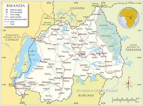
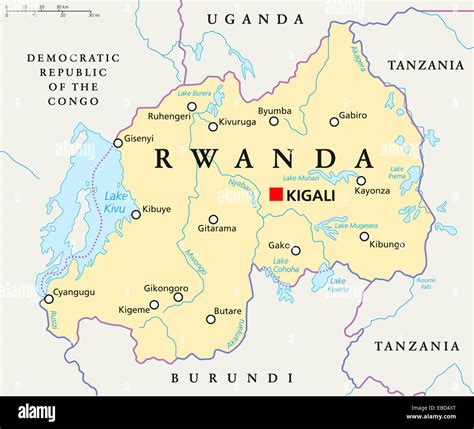
Kigali (Kinyarwanda pronunciation: [ci.ɡɑ́.ɾi]) is the capital and largest city of Rwanda. It is near the nation’s geographic centre in a region of rolling hills, with a series of valleys and ridges joined by steep slopes. As a primate city, Kigali has been Rwanda’s economic, cultural, and transport hub since it became the capital following independence from Belgian rule in 1962.
In an area controlled by the Kingdom of Rwanda from the 17th century and then by the German Empire, the city was founded in 1907 when Richard Kandt, the colonial resident, chose the site for his headquarters, citing its central location, views and security. Foreign merchants began to trade in the city during the German era, and Kandt opened some government-run schools for Tutsi Rwandan students. Belgium took control of Rwanda and Burundi during World War I, forming the mandate of Ruanda-Urundi. Kigali remained the seat of colonial administration for Rwanda but Ruanda-Urundi’s capital was at Usumbura (now Bujumbura) in Burundi and Kigali remained a small city with a population of just 6,000 at the time of independence.
Kigali grew slowly during the following decades. It was not initially directly affected by the Rwandan Civil War between government forces and the rebel Rwandan Patriotic Front (RPF), which began in 1990. However, in April 1994 Rwanda’s President Juvénal Habyarimana was killed when his aircraft was shot down near Kigali. His death was followed by the Rwandan genocide, with Hutu extremists loyal to the interim government killing an estimated 500,000–800,000 Tutsi and moderate Hutu nationwide. The RPF resumed fighting, ending a cease-fire of more than a year. They gradually took control of most of the country and seized Kigali on 4 July 1994. Post-genocide Kigali has experienced rapid population growth, with much of the city rebuilt.
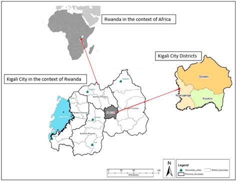
The city of Kigali is one of the five provinces of Rwanda, with boundaries set in 2006. It is divided into three districts—Gasabo, Kicukiro, and Nyarugenge—which historically had control of significant areas of local governance. Reforms in January 2020 transferred much of the districts’ power to the city-wide council. The city also hosts the main residence and offices of the president of Rwanda and most government ministries. The largest contributor to Kigali’s gross domestic product is the service sector, but a significant proportion of the population works in agriculture including small-scale subsistence farming. Attracting international visitors is a priority for city authorities, including leisure tourism, conferences and exhibitions.