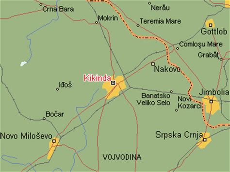
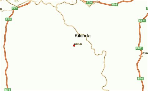
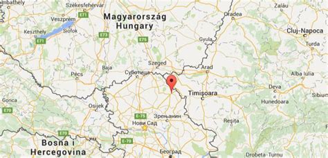
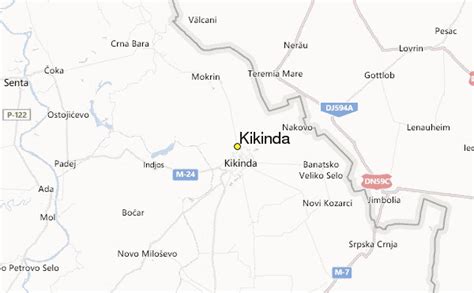
Location: Kikinda 🌎
Location: Kikinda, Serbia
Administration Region: Kikinda
Population: 38065
ISO2 Code: Kikinda
ISO3 Code: SRB
Location Type: First-level Admin Capital
Latitude: 45.8333
Longitude: 20.45
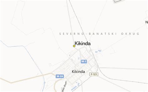
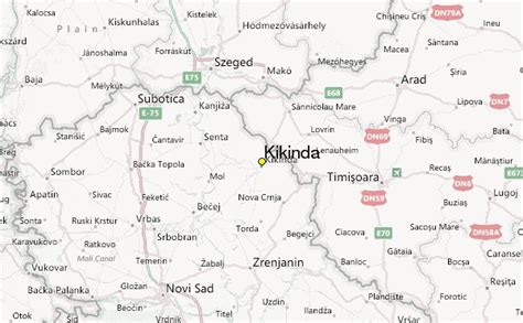
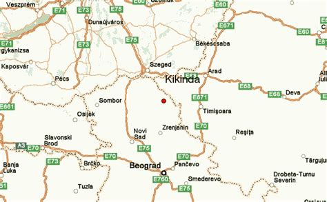
Kikinda (Serbian Cyrillic: Кикинда, pronounced [kǐkiːnda]; Hungarian: Nagykikinda) is a city and the administrative center of the North Banat District in Serbia . The city urban area has 38,069 inhabitants, while the city administrative area has 59,453 inhabitants.
The city was founded in the 18th century. From 1774 to 1874 Kikinda was the seat of the District of Velika Kikinda, an autonomous administrative unit of Habsburg monarchy. In 1893 Kikinda was granted the status of a city. The city became part of the Kingdom of Serbia (and Kingdom of Serbs, Croats and Slovenes) in 1918, and it lost the city status. The status was re-granted in 2016.
In 1996, the well-preserved archaeological remnants of a half a million-year-old mammoth were excavated on the outer edge of the town area. The mammoth called “Kika” has become one of the symbols of the town. Today it is exhibited in the National Museum of Kikinda. Other attractions of the city are the Suvača – a unique horse-powered dry mill, the annual Pumpkin Days and the International Symposium of Sculpture “Terra”. The winter roosts of long-eared owl, with a large number of individuals, are easily accessible as they are situated in town parks and therefore they attract birdwatchers both from this country and abroad.

Top Kikinda HD Maps, Free Download 🗺️
Map
Maps
United States
United States
World Map
China
China
