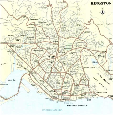
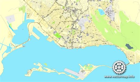
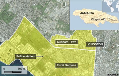
Kingston is the capital and largest city of Jamaica, located on the southeastern coast of the island. It faces a natural harbour protected by the Palisadoes, a long sand spit which connects the town of Port Royal and the Norman Manley International Airport to the rest of the island. Kingston is the largest predominantly English-speaking city in the Caribbean.The local government bodies of the parishes of Kingston and Saint Andrew were amalgamated by the Kingston and St. Andrew Corporation Act of 1923, to form the Kingston and St. Andrew Corporation (KSAC). Greater Kingston, or the “Corporate Area” refers to those areas under the KSAC; however, it does not solely refer to Kingston Parish, which only consists of the old downtown and Port Royal. Kingston Parish had a population of 89,057, and St. Andrew Parish had a population of 573,369 in 2011 Kingston is only bordered by Saint Andrew to the east, west and north. The geographical border for the parish of Kingston encompasses the following communities: Tivoli Gardens, Denham Town, Rae Town, Kingston Gardens, National Heroes Park, Bournemouth Gardens, Norman Gardens, Rennock Lodge, Springfield and Port Royal, along with portions of Rollington Town, Franklyn Town, and Allman Town.The city proper is bounded by Six Miles to the west, Stony Hill to the north, Papine to the northeast, and Harbour View to the east, which are communities in urban and suburban Saint Andrew. Communities in rural St. Andrew such as Gordon Town, Mavis Bank, Lawrence Tavern, Mt. Airy, and Bull Bay would not be described as being in Kingston city.Two districts make up the central area of Kingston: the historic Downtown and New Kingston. Both are served by Norman Manley International Airport and also by the smaller and primarily domestic Tinson Pen Aerodrome.