Location: Kisangani 🌎
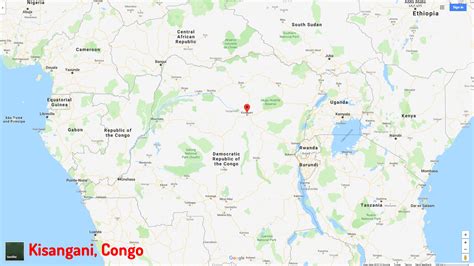
Location: Kisangani, Congo (Kinshasa)
Administration Region: Tshopo
Population: 935977
ISO2 Code: Tshopo
ISO3 Code: COD
Location Type: First-level Admin Capital
Latitude: 0.5167
Longitude: 25.2
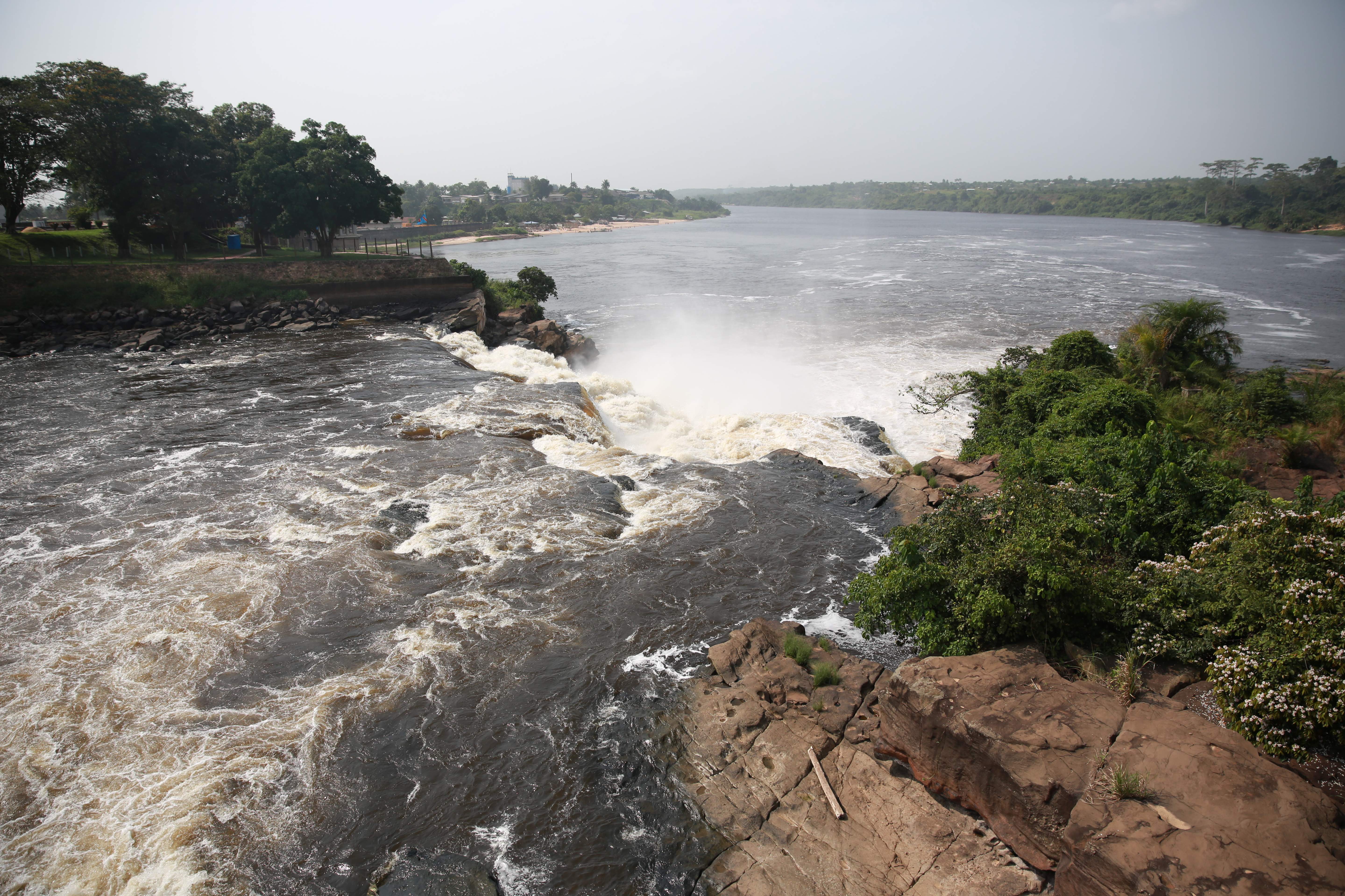
Kisangani (formerly Stanleyville or Stanleystad) is the capital of Tshopo province in the Democratic Republic of the Congo. It is the fifth most populous urban area in the country, with an estimated population of 1,312,000 in 2021, and the largest of the cities that lie in the tropical woodlands of the Congo.Some 2,100 kilometres (1,300 mi) from the mouth of the Congo River, Kisangani is the farthest navigable point upstream. Kisangani is the nation’s most important inland port after Kinshasa, an important commercial hub point for river and land transportation and a major marketing and distribution centre for the north-eastern part of the country. It has been the commercial capital of the northern Congo since the late 19th century.

Top Kisangani HD Maps, Free Download 🗺️
Map
Maps
United States
United States
World Map
China
China


