Kitakyushu (Japanese: 北九州市, Hepburn: Kitakyūshū-shi) is a city located in Fukuoka Prefecture, Japan. As of June 1, 2019, Kitakyushu has an estimated population of 940,978, making it the second-largest city in both Fukuoka Prefecture and the island of Kyushu after the city of Fukuoka. It is one of Japan’s 20 designated cities, one of three on Kyushu, and is divided into seven wards.
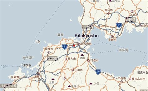
Kitakyushu was formed in 1963 from a merger of municipalities centered on the historic city of Kokura, and its name literally means “North Kyushu City” in Japanese. It is located at the northernmost point of Kyushu on the Kanmon Straits, separating the island from Honshu, across from the city of Shimonoseki. Kitakyushu and Shimonoseki are connected by numerous transport links including the Kanmon Bridge and the Kanmon Tunnels. Kitakyushu’s Urban Employment Area forms part of the Fukuoka-Kitakyushu Greater Metropolitan Region, which, with a population of 5,738,977 (2005-2006), is the largest metropolitan area in Japan west of the Keihanshin region.