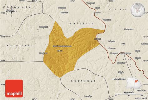
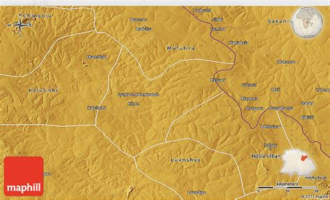
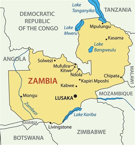
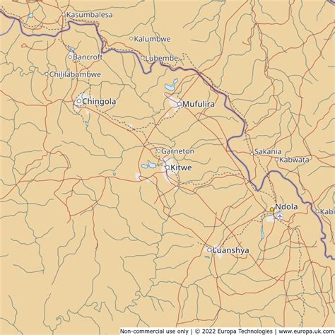
Location: Kitwe 🌎
Location: Kitwe, Zambia
Administration Region: Copperbelt
Population: 504194
ISO2 Code: Copperbelt
ISO3 Code: ZMB
Location Type:
Latitude: -12.8167
Longitude: 28.2
Kitwe is the third largest city in terms of infrastructure development (after Lusaka and Ndola) and second largest city in terms of size and population (after Lusaka) in Zambia. With a population of 517,543 (2010 census provisional) Kitwe is one of the most developed commercial and industrial areas in the nation, alongside Ndola and Lusaka. It has a complex of mines on its north-western and western edges.Kitwe is located in the Copperbelt Province and is made up of townships and suburban areas including Parklands, Riverside, Buchi, Chimwemwe, Kwacha, Nkana East, Nkana West, Garneton, Ndeke, Miseshi, Wusakile, Mindolo, Chachacha and Race Course, to mention a few. The city is sometimes referred to as Kitwe-Nkana. Nkana is derived from the name of Senior Chief Nkana of the Lamba speaking people of the Copperbelt province. His area covers the towns of Kitwe, Mufulira, Kalulushi-Chibuluma and Chambishi.
Kitwe has both private and public schools which include Lechwe School, Mpelembe Secondary School, Kitwe Boys Secondary School, Parklands Secondary School, Mukuba Secondary School, Nkana Trust School and Helen Kaunda Secondary School. It is also home to Zambia’s second highest learning institution, namely The Copperbelt University.

Top Kitwe HD Maps, Free Download 🗺️
Map
Maps
United States
United States
World Map
China
China


