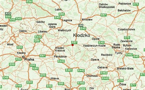
Location: Kłodzko 🌎
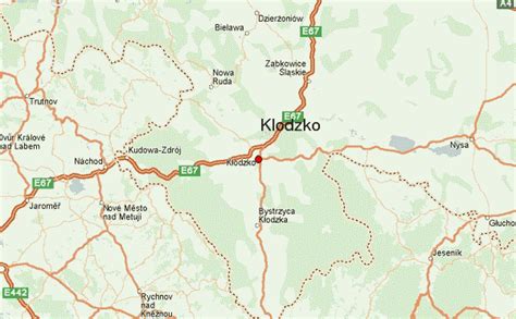
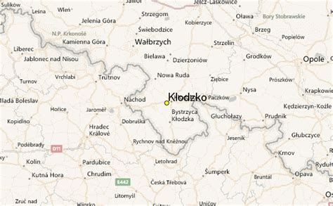
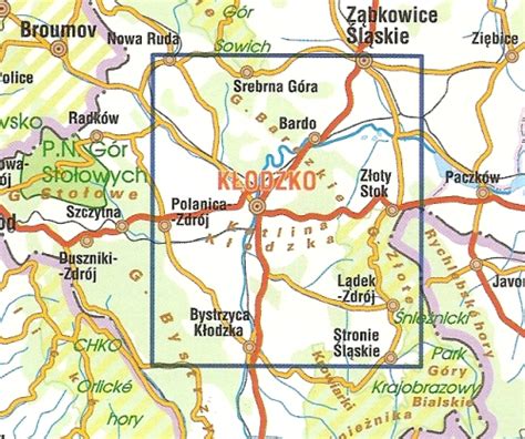
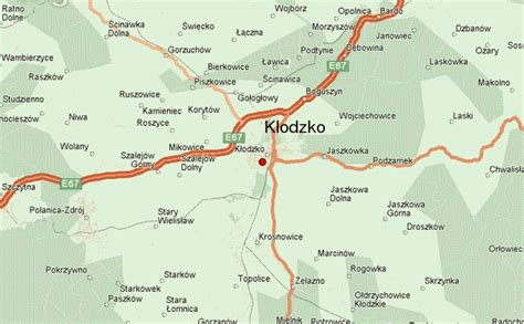
Location: Kłodzko, Poland
Administration Region: Dolnośląskie
Population: 27193
ISO2 Code: Dolnośląskie
ISO3 Code: POL
Location Type: Lower-level Admin Capital
Latitude: 50.4333
Longitude: 16.65
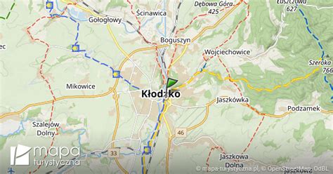
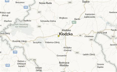
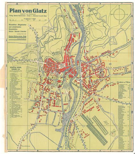
Kłodzko ([ˈkwɔt͡skɔ] ; Czech: Kladsko; German: Glatz; Latin: Glacio) is a historic town in south-western Poland, in the region of Lower Silesia. It is situated in the centre of the Kłodzko Valley, on the Eastern Neisse river.
Kłodzko is the seat of Kłodzko County (and of the rural Gmina Kłodzko, although the town itself is a separate urban gmina), and is situated in Lower Silesian Voivodeship. With 26,845 inhabitants (2019), Kłodzko is the main commercial centre as well as an important transport and tourist node for the area.
For its historical monuments it is sometimes referred to as “Little Prague” (Polish: Mała Praga, German: Klein-Prag). It was established as a settlement in the 10th century, and is one of the oldest towns in Poland, having been granted city rights in 1233. Culturally and traditionally a part of Bohemia, administratively it has been a part of Silesia since 1763.

Top Kłodzko HD Maps, Free Download 🗺️
Map
Maps
United States
United States
World Map
China
China
