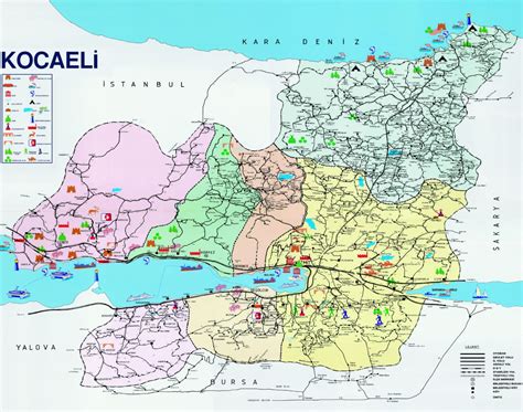
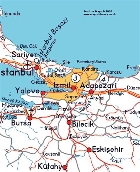
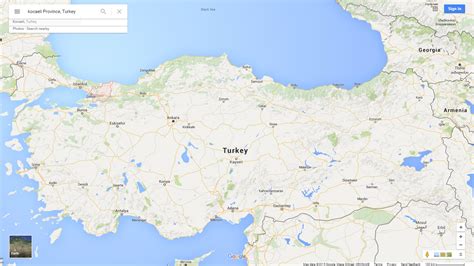
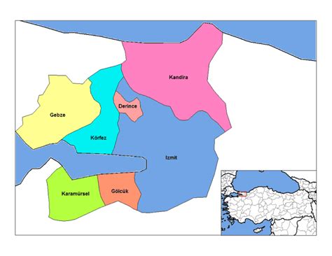
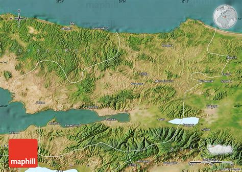
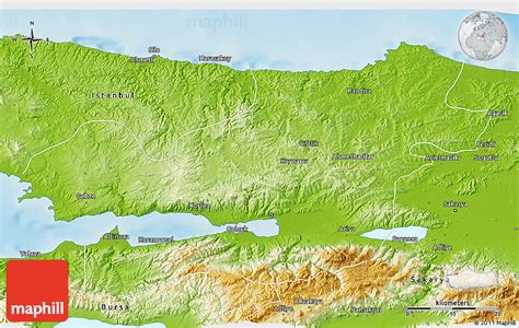
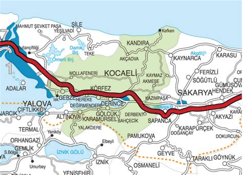
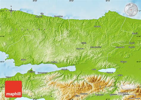
İzmit (Turkish pronunciation: [ˈizmit]) is the central district of Kocaeli province, Turkey. It is located at the Gulf of İzmit in the Sea of Marmara, about 100 km (62 mi) east of Istanbul, on the northwestern part of Anatolia. As of the last estimation (made on 31 December 2021), the city center had a population of 367,990. Kocaeli province (including rural areas) had a population of 2,033,441 inhabitants, of whom approximately 1.2 million lived in the largely urban İzmit City metro area made up of Kartepe, Başiskele, Körfez, Gölcük, Derince and Sapanca (in Sakarya Province). Unlike other provinces in Turkey, apart from Istanbul, the whole province is included within the municipality of the metropolitan center.
İzmit was known as Nicomedia (Greek: Νικομήδεια) and Ólbia (Greek: Ὀλβία) in antiquity, and was the eastern and most senior capital city of the Roman Empire between 286 and 324, during the Tetrarchy introduced by Diocletian. Following Constantine the Great’s victory over co-emperor Licinius at the Battle of Chrysopolis in 324, Nicomedia served as an interim capital city for Constantine between 324 and 330, when he rebuilt and expanded the nearby city of Byzantium as the new Roman capital; formally dedicating it in 330 with the name Nova Roma, before he soon renamed it as Constantinopolis (modern Istanbul). Constantine died at a royal villa near Nicomedia in 337. During the Ottoman Empire, İzmit was the capital of the Sanjak of Kocaeli.