Location: Koewarasan 🌎
Location: Koewarasan, Suriname Administration Region: Wanica Population: 27713 ISO2 Code: Wanica ISO3 Code: SUR Location Type: Latitude: 5.7697 Longitude: -55.2922
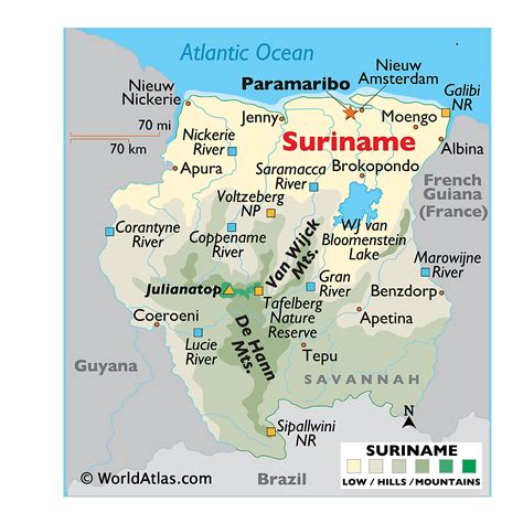
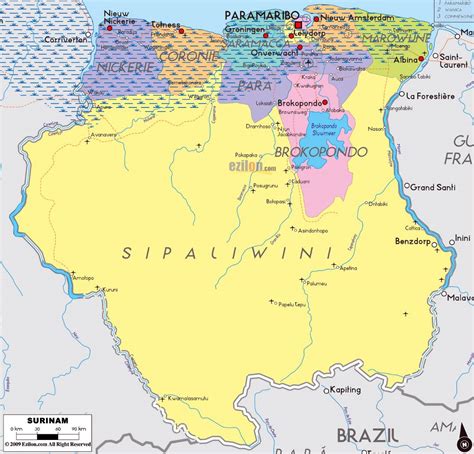
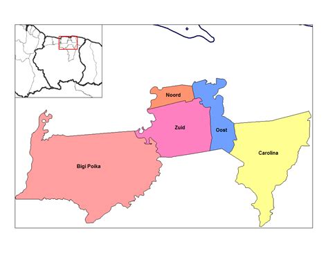
Koewarasan (Javanese : ꦏꦸꦮꦫꦱꦤ꧀ lit. meaning : “well-being”) is a resort in Suriname, located in the Wanica District. Its population at the 2012 census was 27,713. It is located to the west of Paramaribo, and is mainly a suburban area. The municipality was founded in 1939, and was originally intended for the Javanese settlers from Java, however due to World War II, only a single group arrived. The majority of the population are East Indian. Prior to 1939, Koewarasan was an agricultural area used for the cultivation of rice.

Top Koewarasan HD Maps, Free Download 🗺️
Map
Maps
United States
United States
World Map
China
China