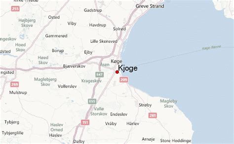
Location: Køge 🌎
Location: Køge, Denmark
Administration Region: Sjælland
Population: 38304
ISO2 Code: Sjælland
ISO3 Code: DNK
Location Type: Lower-level Admin Capital
Latitude: 55.4561
Longitude: 12.1797
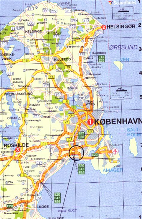
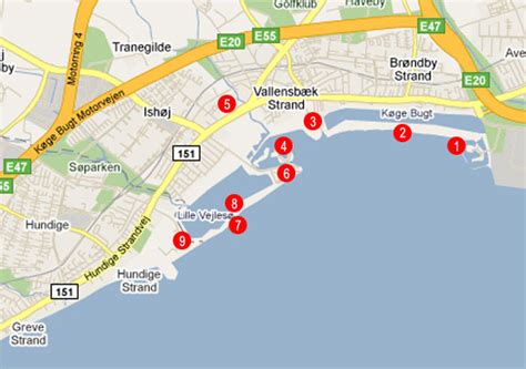
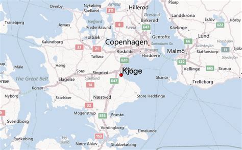
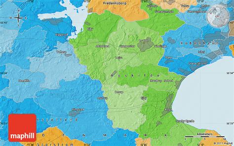
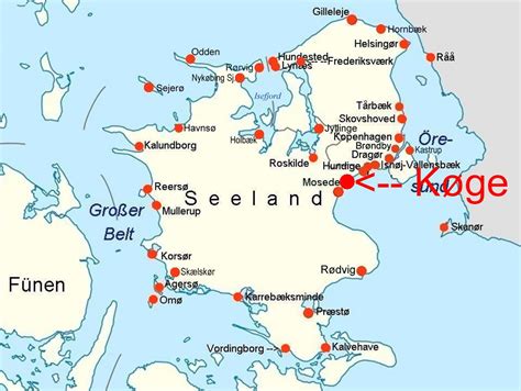
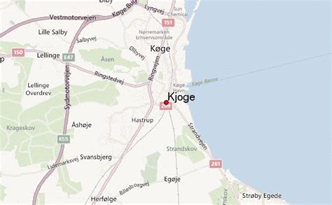
Køge (Danish pronunciation: [ˈkʰøː(j)ə], older spelling Kjøge) is a seaport on the coast of Køge Bugt (Bay of Køge) 39 km southwest of Copenhagen. It is the principal town and seat of Køge Municipality, Region Sjælland, Denmark. In 2022, the urban area had a population of 38,304.The natural harbour and strategic location have given Køge a long history as a market town. Today, that past is evident in a well-preserved old town centre with many half-timbered houses.
Køge is located in the Copenhagen metropolitan area and is connected to downtown Copenhagen by the E line of the S-train commuter rail system. Køge is also on the Copenhagen-Ringsted Line that was opened in June 2019. The new line positioned Køge as a central hub in Denmark’s transport system.

Top Køge HD Maps, Free Download 🗺️
Map
Maps
United States
United States
World Map
China
China

