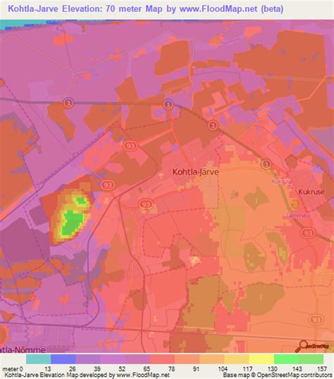
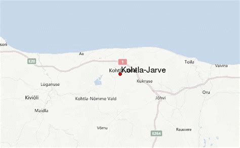
Location: Kohtla-Järve 🌎
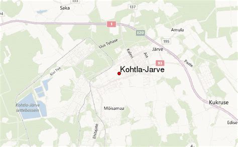
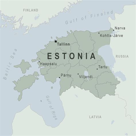
Location: Kohtla-Järve, Estonia
Administration Region: Kohtla-Järve
Population: 33498
ISO2 Code: Kohtla-Järve
ISO3 Code: EST
Location Type: Lower-level Admin Capital
Latitude:
Longitude:
Kohtla-Järve is a city and municipality in northeastern Estonia, founded in 1924 and incorporated as a town in 1946. The city is highly industrial, and is both a processor of oil shales and is a large producer of various petrochemical products. During the 1944–1991 Soviet occupation, large numbers of immigrant workers from Russia and other parts of the former USSR were brought in to populate the rapidly growing city. The population in the Kohtla-Järve area which had been, as of 1934 census, over 90% ethnic Estonian, became overwhelmingly non-Estonian in the second half of the 20th century. According to more recent data (as of 2006) 21% of the city’s population are ethnic Estonians; most of the rest are Russians. Kohtla-Järve is the fifth-largest city in Estonia in terms of population.
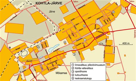
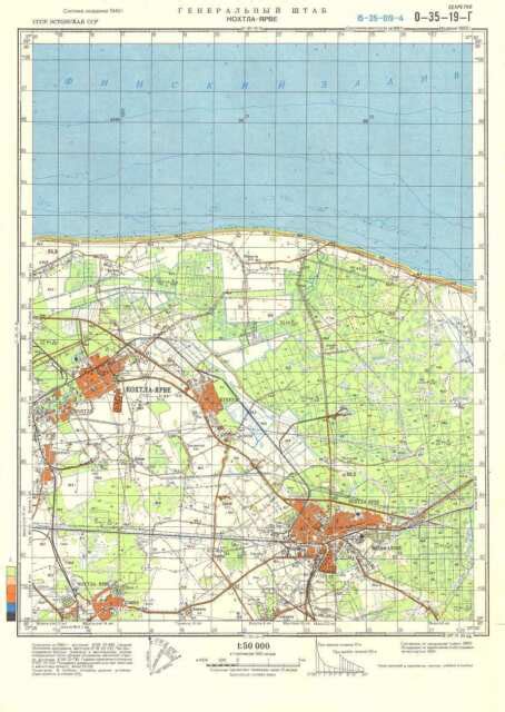
Kohtla-Järve is unusual among the municipalities of Estonia due to its territory being made of several discontiguous parts. The two main parts, Järve (Kohtla-Järve proper) and Ahtme, both with populations around 20,000, are located about 10 km apart. Several other settlements in north-eastern Ida-Viru county, connected to oil shale mining, are administered as districts of Kohtla-Järve. During most of the period of the Soviet occupation, the town of Jõhvi was also incorporated into Kohtla-Järve.
Top Kohtla-Järve HD Maps, Free Download 🗺️
Map
Maps
United States
United States
World Map
China
China
