Location: Kolhāpur 🌎
Location: Kolhāpur, India
Administration Region: Mahārāshtra
Population: 561489
ISO2 Code: Mahārāshtra
ISO3 Code: IND
Location Type:
Latitude: 16.6917
Longitude: 74.2333
Kolhapur (Kolhapur.ogg ) is a city on the banks of the Panchganga River in the southern part of the Indian state of Maharashtra.Kolhapur, an epitome of beauty and richness in the Indian state of Maharashtra, stands tall as one of the most significant cities in South Maharashtra. With its rich cultural heritage, this city has been a hub of historical, religious, and cultural activities for centuries. Its historic significance can be traced back to the 1st century BC and continues to amaze visitors with its intricate carvings and magnificent temples. Kolhapur is famous for its unique food culture, including its signature Kolhapuri cuisine, that tantalizes the taste buds of locals and tourists alike. Sports, arts and local dialects also play a major role in defining the identity of the city, making it a true representation of diversity and unity. The city is situated in the western part of Maharashtra and is often referred to as “Dakshin Kashi” or “Mahateerth”. It boasts a rich history, which has given it various other names, including Kollagiri, Kolladigiripattan and Kollpur, all meaning “valley”. The vibrant and rich city of Kolhapur is indeed a cultural treasure, waiting to be explored by those in search of a true taste of India.
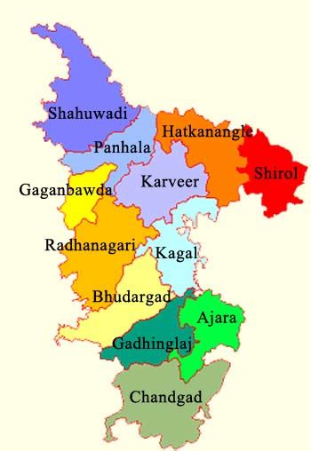
Kolhapur district. Around 2 C.E. Kolhapur’s name was ‘Kuntal’.Kolhapur is known as ‘Dakshin Kashi’ or Kashi of the South because of its spiritual history and the antiquity of its shrine Mahalaxmi, better known as Ambabai. The region is known for the production of the famous hand-crafted and braided leather slippers called Kolhapuri chappal, which received the Geographical Indication designation in 2019. In Hindu mythology, the city is referred to as “Karvir.”Before India became independent in 1947, Kolhapur was a princely state under the Bhosale Chhatrapati of the Maratha Empire. It is an important center for the Marathi film industry.
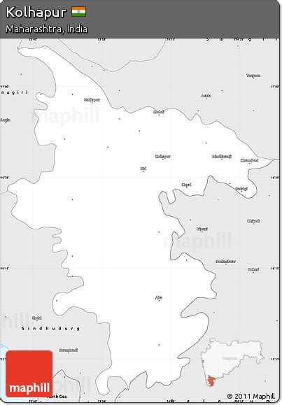
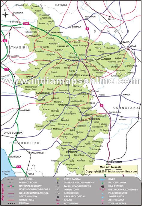
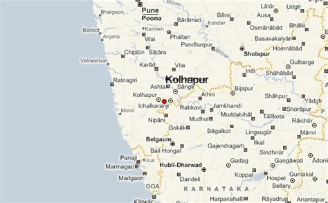
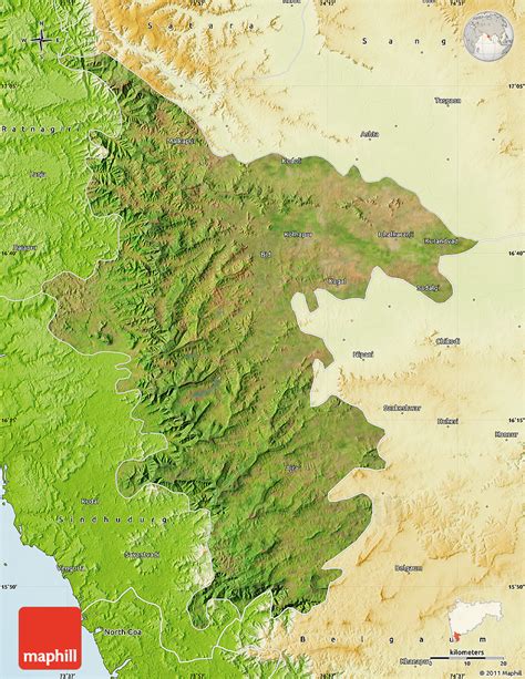
Top Kolhāpur HD Maps, Free Download 🗺️
Map
Maps
United States
United States
World Map
China
China

