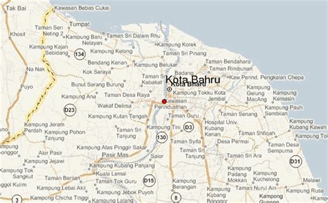
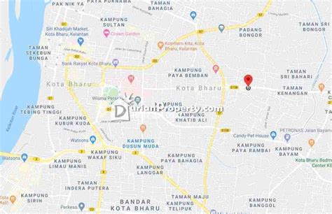
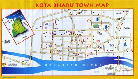
Location: Kota Bharu 🌎
Location: Kota Bharu, Malaysia
Administration Region: Kelantan
Population: 491237
ISO2 Code: Kelantan
ISO3 Code: MYS
Location Type: First-level Admin Capital
Latitude: 6.1333
Longitude: 102.25
Kota Bharu (Kelantanese: Koto Baru; Jawi: كوت بهارو) colloquially referred to as KB, is a town in Malaysia that serves as the state capital and royal seat of Kelantan. It is situated in the northeastern part of Peninsular Malaysia and lies near the mouth of the Kelantan River.
The town is home to many religious buildings, various museums, the unique architecture of the old royal palaces (still occupied by the sultan and sultanah and off-limits to visitors but viewable from outside) and former royal buildings (which can be visited). It is served by Keretapi Tanah Melayu’s East Coast Line at the nearby Wakaf Bharu Terminal Station, in the town of Wakaf Bharu across the Kelantan River and Sultan Ismail Petra Airport, located in Pengkalan Chepa.
Top Kota Bharu HD Maps, Free Download 🗺️
Map
Maps
United States
United States
World Map
China
China


