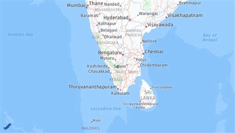
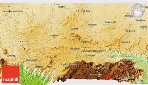
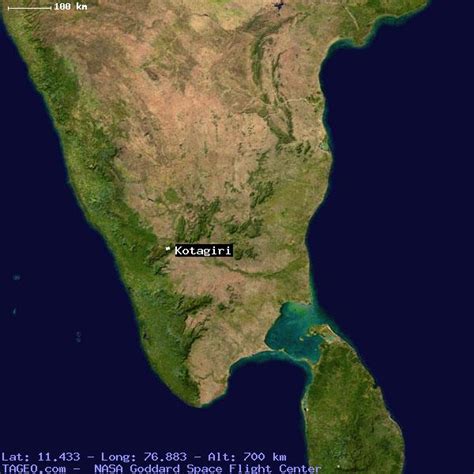
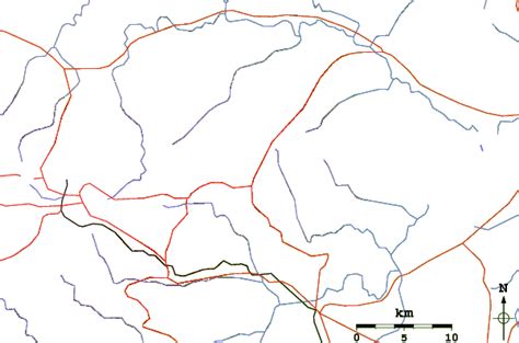
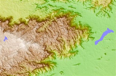
Location: Kotagiri 🌎
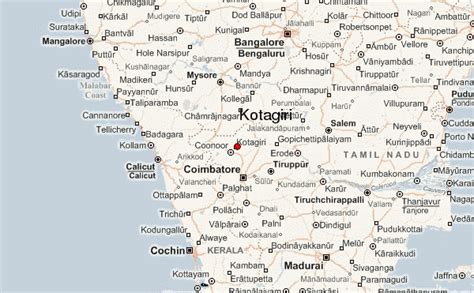
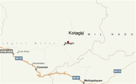
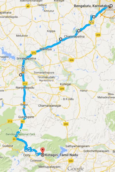
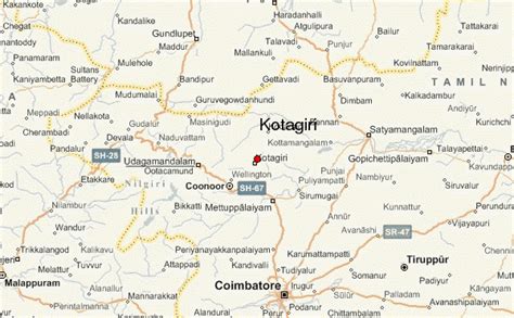
Location: Kotagiri, India
Administration Region: Tamil Nādu
Population: 28207
ISO2 Code: Tamil Nādu
ISO3 Code: IND
Location Type:
Latitude: 11.43
Longitude: 76.88
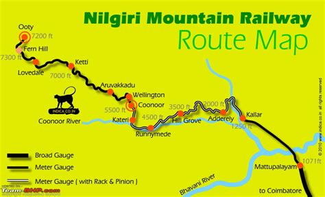
Kotagiri or Kothagiri is a taluk and a Panchayat town in The Nilgiris District in the Indian state of Tamil Nadu. The Nilgiri hills has been the traditional home of the “Kota” tribes. The name ‘Kota-giri’ itself means ‘mountain of the Kotas’. Kotagiri was known in the past as “Kota-Keri” or “Kota-gherry”, the street of Kotas. The town has developed around numerous knolls and valleys. It is the third largest hill station in the Nilgiri Mountains. Located at an average elevation of 1,950 m (6,400 ft), Kotagiri is quietly tucked away in the Nilgiris and used to be one of the summer resort of Madras Presidency. The Kotagiri weather is more bracing than that of Coonoor and balmier than that of Ooty.
Top Kotagiri HD Maps, Free Download 🗺️
Map
Maps
United States
United States
World Map
China
China
