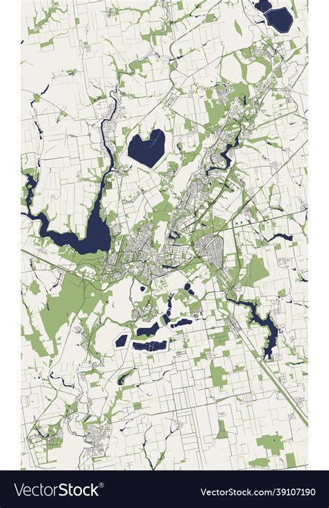
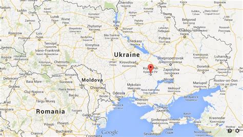
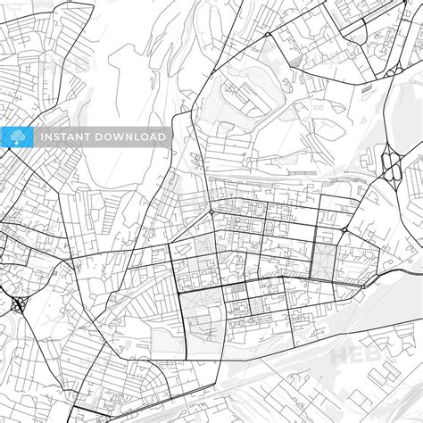
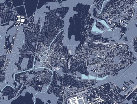
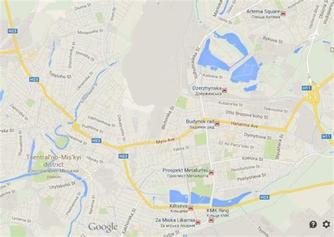
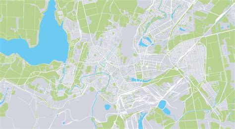
Location: Kryvyi Rih 🌎
Location: Kryvyi Rih, Ukraine
Administration Region: Dnipropetrovska Oblast
Population: 629695
ISO2 Code: Dnipropetrovska Oblast
ISO3 Code: UKR
Location Type: Lower-level Admin Capital
Latitude: 47.9
Longitude: 33.35
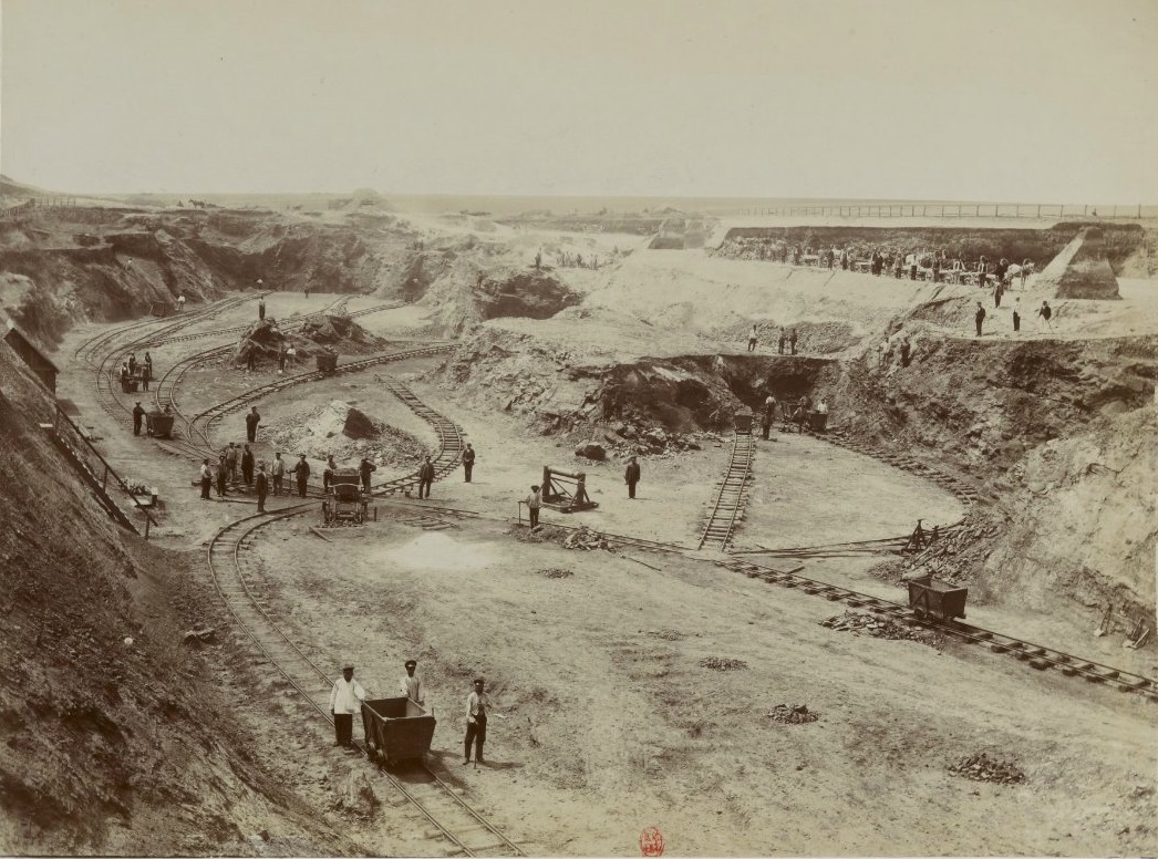
Kryvyi Rih (Ukrainian: Кривий Ріг, IPA: [krɪˌwɪj ˈr⁽ʲ⁾iɦ]), also known as Krivoy Rog (Russian: Кривой Рог), is a city in central Ukraine. It hosts the administration of Kryvyi Rih Raion and its subordinate Kryvyi Rih urban hromada in Dnipropetrovsk Oblast. The city is also part of the Kryvyi Rih Metropolitan Region. Its population is estimated at 603,904 (2022 est.), making it the seventh-most populous city in Ukraine and the second largest by area. Kryvyi Rih is also claimed to be the longest city in Europe.Located at the confluence of the Saksahan and Inhulets rivers, Kryvyi Rih was founded as a military staging post in 1775. Urban-industrial growth followed Belgian, French and British investment in the exploitation of the area’s rich iron-ore deposits (generally called Kryvbas) in the 1880s. Kryvyi Rih gained city status after the October Revolution in 1919.
Stalin-era industrialisation saw the development in the city from 1934 of Kryvorizhstal, the largest integrated metallurgical works in the Soviet Union. After a brutal German occupation in World War II, Kryvyi Rih experienced renewed growth through to the 1970s. The economic dislocation associated with the break-up of the Soviet Union contributed to high unemployment and a large-scale exodus from the city in the 1990s. The privatization of Kryvorizhstal in 2005 was followed by increased foreign and private investment which helped finance urban regeneration. Beginning in 2017, there were major labour protests and strikes.
In their February 2022 invasion of Ukraine, forces of the Russian Federation approached the city’s outskirts from Russian-occupied Crimea. In March, their advance stalled some 50 km to the south. The city has since been a target of frequent missile strikes.
Top Kryvyi Rih HD Maps, Free Download 🗺️
Map
Maps
United States
United States
World Map
China
China
