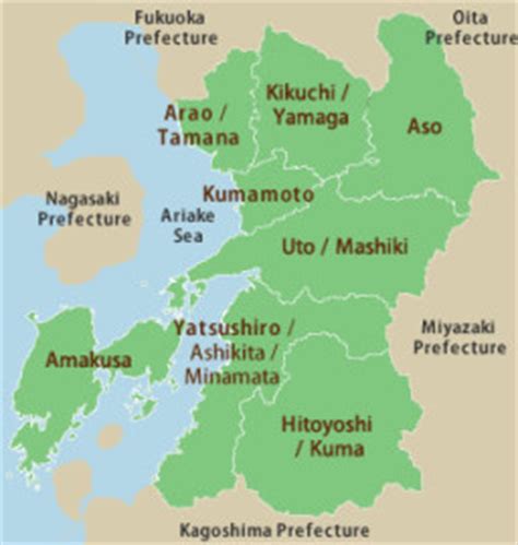
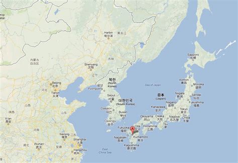
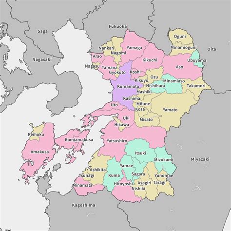
Kumamoto Prefecture (熊本県, Kumamoto-ken) is a prefecture of Japan located on the island of Kyūshū. Kumamoto Prefecture has a population of 1,748,134 (as of 1 June 2019) and has a geographic area of 7,409 square kilometres (2,861 sq mi). Kumamoto Prefecture borders Fukuoka Prefecture to the north, Ōita Prefecture to the northeast, Miyazaki Prefecture to the southeast, and Kagoshima Prefecture to the south.
Kumamoto is the capital and largest city of Kumamoto Prefecture, with other major cities including Yatsushiro, Amakusa, and Tamana. Kumamoto Prefecture is located in the center of Kyūshū on the coast of the Ariake Sea, across from Nagasaki Prefecture, with the mainland separated from the East China Sea by the Amakusa Archipelago. Kumamoto Prefecture is home to Mount Aso, the largest active volcano in Japan and among the largest in the world, with its peak 1,592 metres (5,223 ft) above sea level.