Location: Kumasi 🌎
Location: Kumasi, Ghana
Administration Region: Ashanti
Population: 2069350
ISO2 Code: Ashanti
ISO3 Code: GHA
Location Type: First-level Admin Capital
Latitude: 6.6667
Longitude: -1.6167
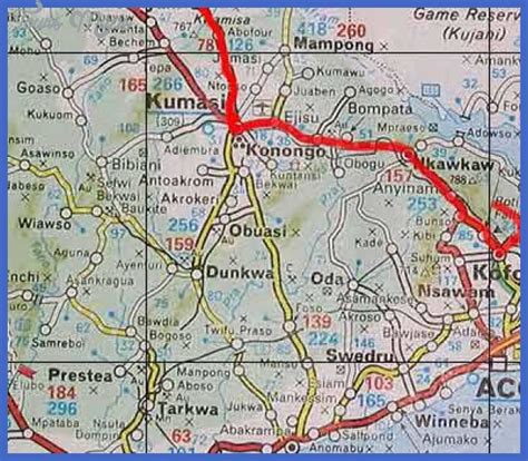
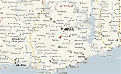
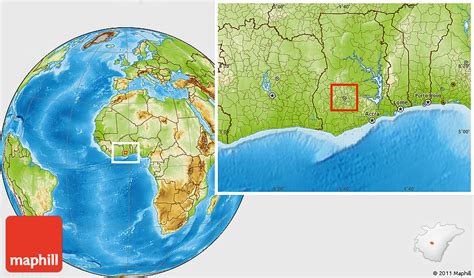
Kumasi (historically spelled Comassie or Coomassie, usually spelled Kumase in Twi) is a city in the Ashanti Region, and is among the largest metropolitan areas in Ghana. Kumasi is located in a rain forest region near Lake Bosomtwe, and is the commercial, industrial, and cultural capital of the historical Ashanti Empire. Kumasi is approximately 500 kilometres (300 mi) north of the Equator and 200 kilometres (100 mi) north of the Gulf of Guinea. Kumasi is alternatively known as “The Garden City” because of its many species of flowers and plants in the past. It is also called Oseikrom (Osei Tutu’s the first town).
Kumasi is the second-largest city in Ghana, after the capital, Accra. The Central Business District of Kumasi includes areas such as Adum, Bantama, Kejetia, Asawasi, Pampaso and Bompata (popularly called Roman Hill), with a concentration of banks, department stalls, and hotels. Economic activities in Kumasi include financial and commercial sectors, pottery, clothing and textiles. There is a significant timber processing community in Kumasi serving the domestic market. Bantama High Street and Prempeh II Street in Bantama and Adum, respectively, are the business and entertainment hubs in Kumasi.

Top Kumasi HD Maps, Free Download 🗺️
Map
Maps
United States
United States
World Map
China
China


