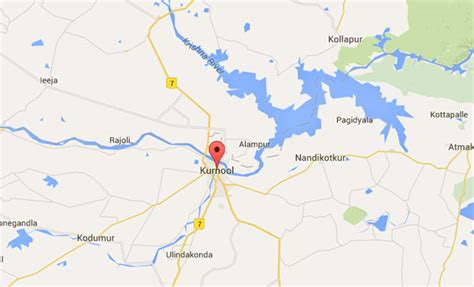
Location: Kurnool 🌎
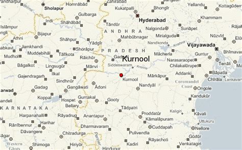
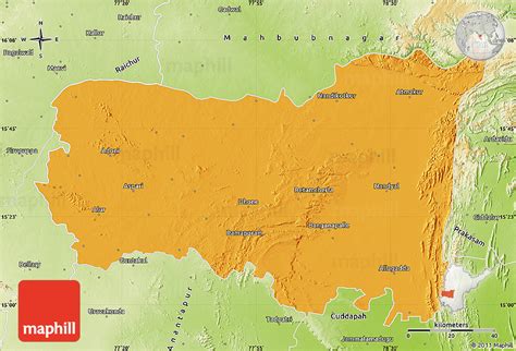
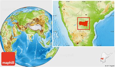
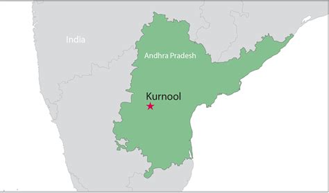
Location: Kurnool, India Administration Region: Andhra Pradesh Population: 457633 ISO2 Code: Andhra Pradesh ISO3 Code: IND Location Type: Latitude: 15.83 Longitude: 78.05
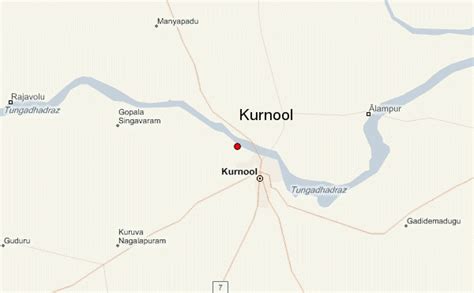
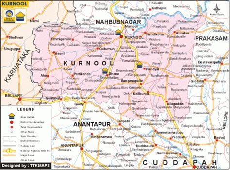
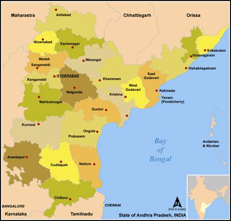
Kurnool is a city in the state of Andhra Pradesh, India. It formerly served as the capital of Andhra State (1953–1956). The city is often referred to as “The Gateway of Rayalaseema”. Kurnool is also known as The City of Gem Stones. It also serves as the district headquarters of its Kurnool district. As of 2011 census, it is the fifth most populous city in the state with a population of 484,327. It is located on the banks of the Tungabhadra river. Although the area has been inhabited for thousands of years, modern Kurnool was founded in the 16th century CE with the construction of the Konda Reddy Fort.

Top Kurnool HD Maps, Free Download 🗺️
Map
Maps
United States
United States
World Map
China
China